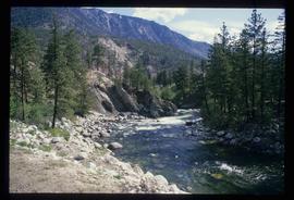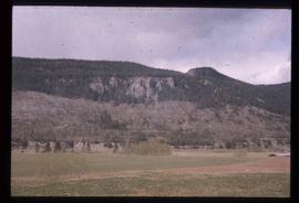
2012.13.1.50.045
·
Item
·
1976
Part of J. Kent Sedgwick fonds
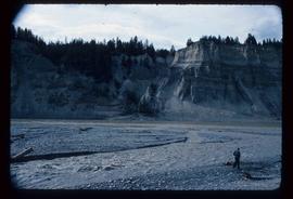
Image depicts the cutbanks of the Fraser River at Soda Creek, B.C.