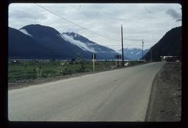
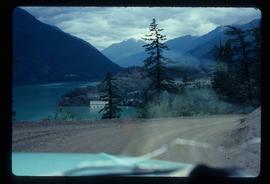
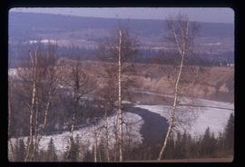
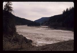
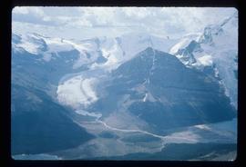
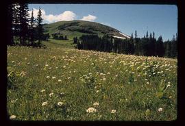
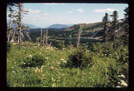
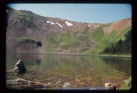
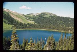
Showing 1985 results

Archival description
Road to Skagway
2012.13.1.98.01 · Item · 1999
Part of J. Kent Sedgwick fonds

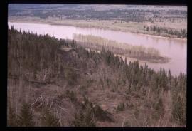
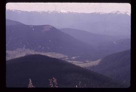
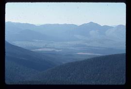
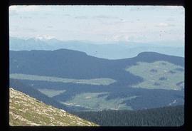
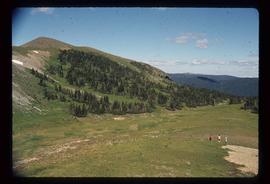
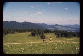
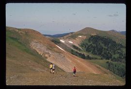
Image depicts the road to Skagway, Alaska. Possibly located on the Klondike Highway in British Columbia with Tutshi Lake on the left.

Road to Hyder
2012.13.1.83.24 · Item · 1979
Part of J. Kent Sedgwick fonds

Image depicts the road leading to Hyder, which is on the other side of the Alaska-British Columbia border and is just a little south-west of Stewart, B.C.

Road and Scenery
2012.13.1.52.45 · Item · [1980?]
Part of J. Kent Sedgwick fonds

Image depicts a road somewhere in the Upper Fraser Canyon, and a view of the hills and trees.

Road and Junkyard
2012.13.1.82.22 · Item · 1980
Part of J. Kent Sedgwick fonds

Image depicts a road with what appears to be a junkyard to the right of the image, likely located somewhere in Seton Portage, B.C.

River Ferry
2012.13.1.66.01 · Item · June 1987
Part of J. Kent Sedgwick fonds

Image depicts a ferry on a river, possibly the Fraser River in the Lillooet area.

River Ferry
2012.13.1.66.02 · Item · June 1987
Part of J. Kent Sedgwick fonds

Image depicts a ferry on a river, possibly the Fraser River in the Lillooet area.

River and Snow
2012.13.1.87.154 · Item · [between 1975 and 1995]
Part of J. Kent Sedgwick fonds

Image depicts what appears to be a small, narrow river, and mounds of snow. The location is uncertain.

River and Mountains
2012.13.1.6.101 · Item · Aug. 1980
Part of J. Kent Sedgwick fonds

Image depicts a river, possibly either the Nechako or the Fraser, and a mountain range from an unknown location.

River and Mountains
2012.13.1.59.11 · Item · July 1980
Part of J. Kent Sedgwick fonds

Image depicts a river on the left of the image and a range of mountains in the distance, located somewhere near Bralorne, B.C.

River and Canoe
2012.13.1.46.31 · Item · 1980
Part of J. Kent Sedgwick fonds

Image depicts a man in a canoe on a river somewhere in South Tweedsmuir Provincial Park. The man is possibly Kent Sedgwick.

River
2012.13.1.50.080 · Item · [1978?]
Part of J. Kent Sedgwick fonds

Image depicts a river and a hillside at an unknown location.

River
2012.13.1.3.124 · Item · 12 Oct. 1989
Part of J. Kent Sedgwick fonds

Image depicts a river, possibly the Nechako, in Prince George, B.C. Possibly taken from the Foothills Bridge.

River
2012.13.1.50.112 · Item · 1980
Part of J. Kent Sedgwick fonds

Image depicts a river, possibly the Fraser, at an uncertain location.

Red Rock (?)
2012.13.1.4.33 · Item · [2000?]
Part of J. Kent Sedgwick fonds

Image depicts a road, forest, and hill rise in an uncertain location possibly near Red Rock, B.C.

Rearguard Falls
2012.13.1.85.02 · Item · 1970
Part of J. Kent Sedgwick fonds

Image depicts the Rearguard Falls in Rearguard Falls Provincial Park near Tête Jaune Cache along the Yellowhead Highway.

Raven Peak
2012.13.1.79.01 · Item · June 1977
Part of J. Kent Sedgwick fonds

Image depicts Raven Peak in the Sugarbowl Grizzly Den Protected Area located on Highway 16 east of Prince George, B.C.

Raven Lake Area
2012.13.1.79.24 · Item · Aug. 1977
Part of J. Kent Sedgwick fonds

Image depicts several individuals hiking in the area surrounding Raven Lake; the lake is visible in the background.