2012.13.1.6.079
·
Item
·
[197-?]
Part of J. Kent Sedgwick fonds
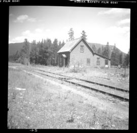
Image depicts the Cariboo Road passing through the Cottonwood House Historic Site.