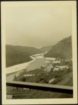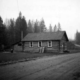
2013.6.36.1.002.111
·
Item
·
[May 1966]
Part of David Davies Railway Collection
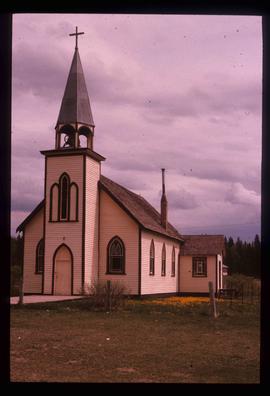
Photograph depicts the United Church at Spences Bridge in the Fraser Canyon. The church is on the flats on the west side of the river and close to the C.N. depot.