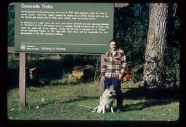
Image depicts Kent Sedgwick standing in front of a sign with a dog in Quesnelle Forks, B.C. The sign describes the history of the site, which began as a mining camp in 1859, but was later completely abandoned after a fire in 1866. It is now managed as a Forest Service Recreation Project.
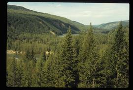
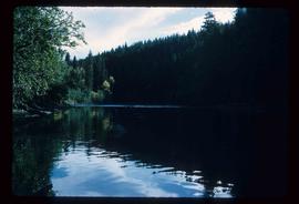
Image depicts the forest surrounding Quesnelle Forks.
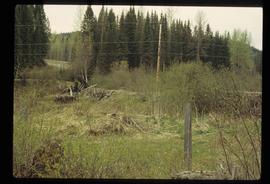
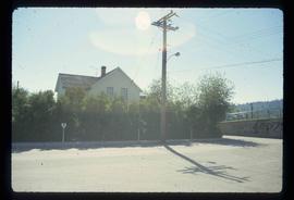
Image depicts a dirt road and power-lines running through the woods, possibly near Quesnelle Forks.
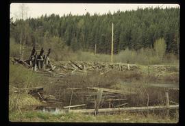
Image depicts a collapsed wooden structure, possibly a bridge, which is likely located somewhere near Quesnelle Forks.
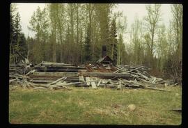
Image depicts an old building which has collapsed into a pile of wood, possibly in Quesnelle Forks.
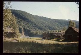
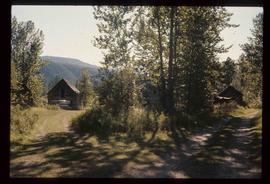
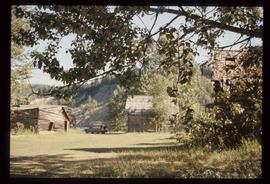
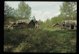
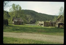
Image depicts numerous abandoned and ruined cabins at Quesnelle Forks.
Image depicts numerous abandoned and ruined cabins at Quesnelle Forks.
Image depicts numerous abandoned and ruined cabins at Quesnelle Forks.
File contains slides depicting Quesnelle Forks, B.C.
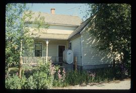
Image depicts numerous old and ruined cabins in Quesnelle Forks.
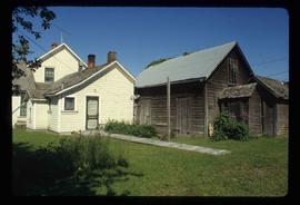
Image depicts numerous old and ruined cabins in Quesnelle Forks.
Item is an original 1969 map depicting Quesnel in British Columbia, published by the Department of Energy, Mines and Resources in Ottawa.
Item is an original 1966 map depicting Quesnel British Columbia, published by the Department of Lands, Forests and Water Resources in Victoria.
File consists of notes, clippings, and reproductions relating to Quesnel, Barkerville, and Wells. Includes: "An Historic Walk of Carson Avenue, Quesnel, B.C". pamphlet prepared by the Quesnel Branch Cariboo Historical Society (1990); "Wells, B.C". pamphlet by the Wells Historical Society (1980); "Cottonwood House Provincial Historic Park" pamphlet by the Province of British Columbia (1980); and vol. 1 of the Cariboo Gazette newspaper (2002). Also includes a map depicting Bowron Lake Park in British Columbia (1968).
The item is a photograph depicting a cabin at Quesnel Forks.
The item is a photograph depicting a cabin at Quesnel Forks. There is a sign on the cabin that states, "Happy 150th Anniversary Cariboo Gold Rush 1859 - 2009."
The item is a photograph depicting a person walking among three abandoned cabins at Quesnel Forks.
The item is a photograph depicting a person walking around two abandoned log cabins at Quesnel Forks.
The item is a photograph depicting two cabins at Quesnel Forks. A sign states, "Rooson St." Annotation on reverse side of photograph states, "Quesnel Forks 2010."
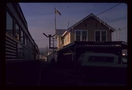
Image depicts the train station in Quesnel, B.C.
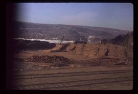
Image depicts numerous wood piles near the sawmill somewhere in Quesnel, B.C.
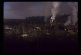
Image depicts a sawmill somewhere in Quesnel, B.C.
Image depicts a sawmill somewhere in Quesnel, B.C.
Image depicts a sawmill somewhere in Quesnel, B.C.
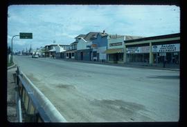
Image depicts the original main street of Quesnel, B.C.
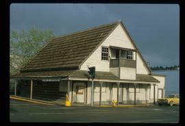
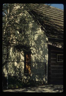
Image depicts the Hudson Bay Store in Quesnel, B.C.
Image depicts the Hudson Bay store in Quesnel, B.C. It was built in 1859.
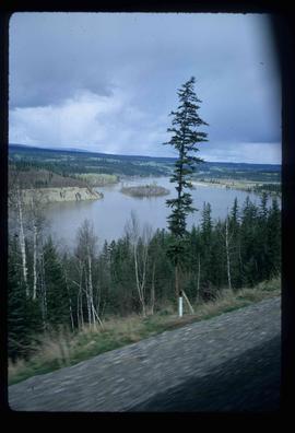
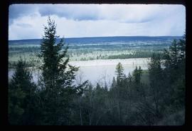
Image possibly depicts the Fraser River from Highway 97 near Quesnel, B.C.
Image possibly depicts the Fraser River from Highway 97 near Quesnel, B.C.
Image depicts the Fraser River from Highway 97 near Quesnel, B.C.
Image depicts the Bohanon House in Quesnel, B.C.
Image depicts the Bohanon House in Quesnel, B.C.
Image depicts the Bohanon House in Quesnel, B.C.
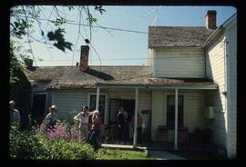
Image depicts numerous unknown individuals at the Bohanon House in Quesnel, B.C.
The item is a photograph of the industrial area off of Queensway in Prince George.
The item is a photograph of the industrial area off of Queensway in Prince George.
The item is a photograph of the industrial area off of Queensway in Prince George.
The item is a photograph of the industrial area off of Queensway in Prince George.
File consists of a clipped article "The Backwoods Baronet and the Golden Spruce" by Dennis Bell from BC Motorist magazine and a map depicting Queen Charlotte Islands (Haida Gwaii). The map includes annotations in pen by Kent Sedgwick and the backside has a recreational directory for the area.
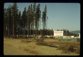
Image depicts Quadra Ventures Industrial Lodge in Tumbler Ridge, B.C.
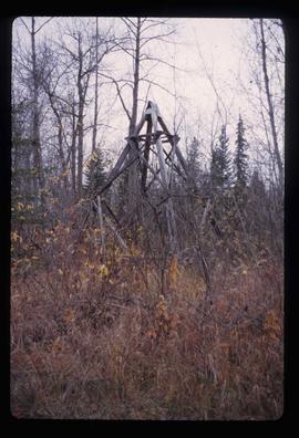
Image depicts an old, pyramid shaped wooden frame somewhere near Miworth, B.C.
The item is a photograph depicting the old site of Pylot Mountain school. Sign in front of the field reads, "Nukko Lake." Annotation on reverse side of the photograph states, "Pylot Mtn school site."
Item is an original 1972 map depicting Punchaw Lake in British Columbia, published by the Department of Energy, Mines & Resources in Ottawa. The map includes pen markings.
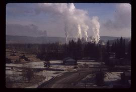
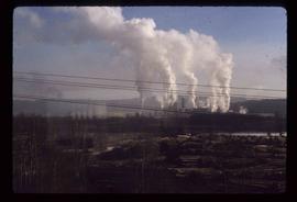
Image depicts a pulpmill, likely Northwood, in Prince George, B.C.
Image depicts the flows from a pulp mill in Prince George, B.C.
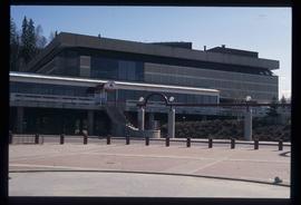
Image depicts the Prince George Public Library from 7th Ave.
Image depicts the Prince George Public Library.
Item is an original map depicting provincial parks across northern British Columbia and was published by the British Columbia Department of Lands, Forests and Water Resources. The map includes pen marks and highlighting.
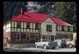
Image depicts the Provincial Government Building located in Stewart, B.C.
Item is an original map depicting British Columbia and its road networks, published by the Province of British Columbia Ministry of Environment.
