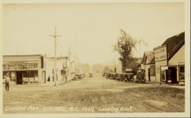
Street view photograph looking down Carson Avenue at the Front St. intersection in Quesnel, BC. Several identified businesses line the gravel avenue on the right; however Cowan's Hardware store is visible at the intersection on the left. Printed annotation on recto reads: "Carson Ave., Quesnel, B.C. 1930 Looking East."
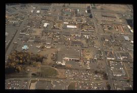
Image depicts the Carter Industrial Area in Prince George, B.C.
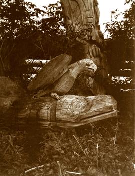
Carvings sit among bushes in front of what appears to be a totem pole.
Handwritten annotation on verso reads: "Eagle & whale Monument Tanu".
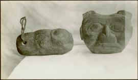
Carved stone figure on left features a hole at one end through which a rope is strung; while the figure on the right is a soapstone figure carving of a face with two ears to the sides and split ‘u’ ones at the top of the head. Handwritten annotation in pen on verso reads: “W.E. Collison.” Stamped annotation on verso reads: “Department of Mines and Resources, Photographic Section. Oct. 6, 1939”. Numeric annotation on verso: “51-5”
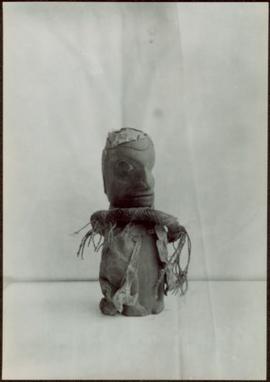
Carved wooden sculpture of a seated male figure - his hands on his chest wearing a headdress and a neck ring. Stamped annotation on verso reads: “Department of Mines and Resources, Photographic Section. Oct. 6, 1939”. Numeric annotation on verso: “46-3”.
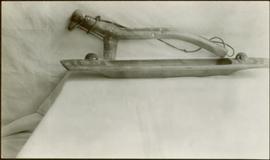
An unidentified carved wooden tool or utensil with twine attached, leans against a sheet covered wall behind a carved wooden platter. Stamped annotation on verso reads: “Department of Mines and Resources, Photographic Section. Oct. 6, 1939”. Numeric annotation on verso: “50-3”
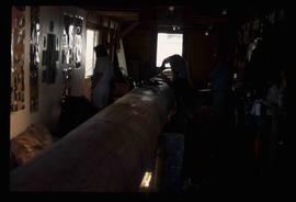
Image depicts several unidentified individuals inside a building, one of which is carving a totem pole. The location is uncertain.
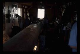
Image depicts several unidentified individuals inside a building, one of which is carving a totem pole. The location is uncertain.
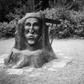
Photograph depicts a carving at the entrance to Little Qualicum Falls Park on the Alberni Highway. On the left side is the face of a white settler.
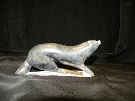
This Inuit carving is of an arctic mammal, possibly an otter, with a mounted brass plate with the inscription "Canada Cup 1976." This carving was a gift to Minister Iona Campagnolo from the Canada Cup yacht racing event.
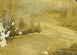
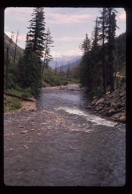
Photograph depicts a section of white water along the Cascade River. Annotation on versio: "August (?), Cassiar, Cascade River, A.H. Phipps".
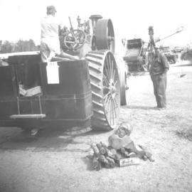
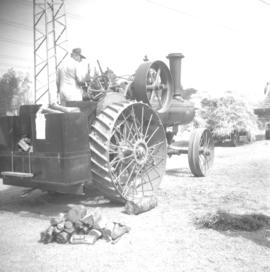
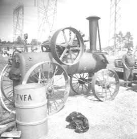
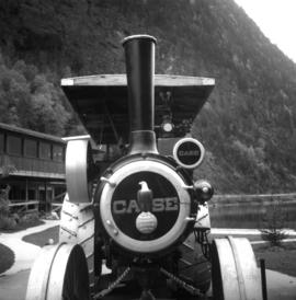
Photograph depicts a case traction engine that was built in 1913. Displayed at the Abbotsford Agricultural Fair.
Photograph depicts a case traction engine that was built in 1913. Displayed at the Abbotsford Agricultural Fair.
Photograph depicts a case traction engine that was built in 1913. Displayed at the Abbotsford Agricultural Fair.
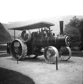
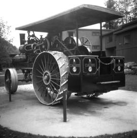
Photograph depicts a case traction engine that was built in 1915 located at Three Valley Gap Motel, some 15 miles west of Revelstoke. It is steamed for a few days each year and was used continuously to 1959 by Mr. Dale of Saskatchewan.
Photograph depicts a case traction engine that was built in 1915. It steamed for a few days each year and was used continuously to 1959 by Mr. Dale of Saskatchewan.
Photograph depicts a case traction engine that was built in 1915. It steamed for a few days each year and was used continuously to 1959 by Mr. Dale of Saskatchewan.
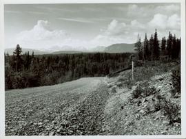
View of snow capped mountains in the distance, vast rolling treed hills in mid ground and a gravel road in the foreground. Road sign indicating severe curve in road situated at the right of the gravel road. Handwritten annotation on verso in pen reads: “Cassiar – Stewart highway”
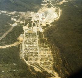
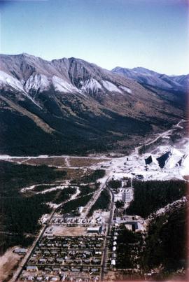
Photograph depicts the Cassiar town in foreground, mine valley and north mountain range in background. Photograph speculated to have been taken during the plane ride of an outside exploration trip.
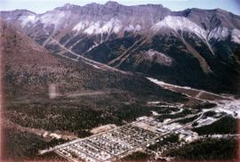
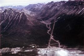
Photograph depicts the Cassiar mine valley in north mountain range. Plant and tailings pile can be seen in right foreground, and the east end of the town is visible in left foreground. Photograph speculated to have been taken during the plane ride of an outside exploration trip.
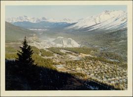
Photograph depicts the Cassiar valley, showing the east end of town in foreground. Plant and tailings pile can be seen in right midground. Photograph speculated to have been taken during the plane ride of an outside exploration trip.
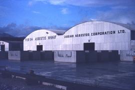
Photograph depicts the Cassiar Asbestos Corporation's warehouse on Pier 94.
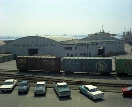
photograph depicts the Cassiar Asbestos Corporation warehouse on the asbestos wharf at Pier 94 near train tracks.
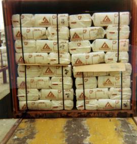
Photograph depicts Cassiar asbestos units in a shipping container at Erich Plant.
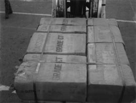
Photograph depicts a unit of grade CT Cassiar asbestos bags.
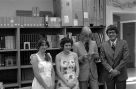
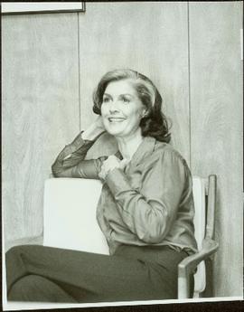
Photograph depicts Cassiar highschool graduates Ann Marie Santos, Estelle Berube, and Bernd Guderjahn in the school library with principal Mr Grant. Photograph was taken during Campagnolo's Skeena riding tour.
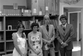
Photograph depicts the Cassiar highschool graduates Ann Marie Santos, Estelle Berube, and Bernd Guderjahn in the school library with principal Mr Grant. Photograph was taken during Campagnolo's Skeena riding tour.
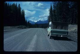
Image depicts a truck parked on the side of the Cassiar Highway.
This file contains images of a land dispute around Cassiar. The photographs depict a cabin on a lot, a destroyed cabin, and outhouses. The accompanied documents in the original file refer to the subjects of "Claims, Leases, and Land lots," and it is implied that there were issues of squatters, illegal occupation, and mineral claims.
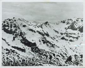
Overview of a snow covered mountain tops of the Cassiar Mountains. Handwritten annotation on verso in pen reads: “Cassiar mtns.”
Photograph depicts the Cassiar townsite behind shadow in foreground. Plantsite can be seen including the mill, dry rock storage building, tailings pile, and many other buildings. Mountains in background. Handwritten annotation on recto: "<- 13 1/2" ->". (This photograph was made into a promotional poster.)
Handwritten annotation on verso: “age 48, BCIT commencement speech pl-ning (?)”
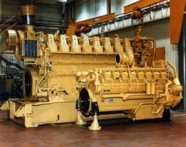
Photograph depicts large Caterpillar engine in large shop with sheeted walls and brick floor. Accompanying note reads: "MTCE 4-01 (b) Cat 3612 Engine".
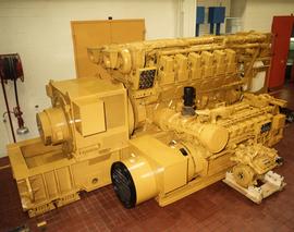
Photograph depicts large Caterpillar engine against painted brick wall in building with brick floor. Miscellaneous equipment in background. Accompanying note reads: "MTCE 4-01 (b) Cat 3612 Engine".
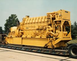
Photograph depicts large Caterpillar engine on flatbed. Road in foreground, trees in background. Accompanying note reads: "MTCE 4-01 (b) Cat 3612 Engine".
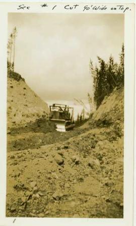
Photograph depicts a caterpillar tractor and a bulldozer working on a ditch cut through a forested landscape. Handwritten annotation on recto reads: "see #1 cut go wide on top". Handwritten annotation on verso reads: "caterpiller tractor and bulldozer working on ditch"
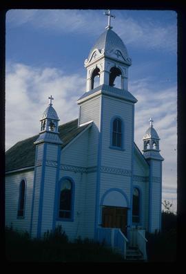
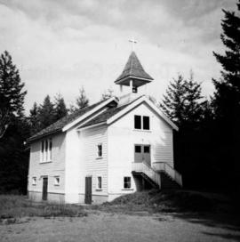
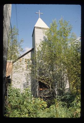
Image depicts a Catholic church at an unknown location.
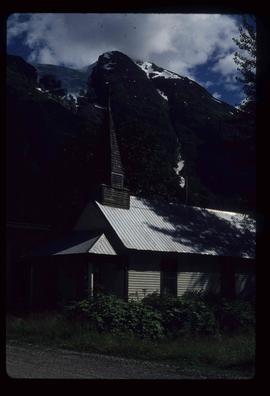
Image depicts a Catholic Church in Stewart, B.C.
Photograph depicts the catholic church at Cobble Hill on Shawnigan Lake.
Image depicts the Catholic Church in Penny, B.C.
Photograph depicts Catholic church, with rectory on its left, and First United Church behind. A wood boardwalk crosses midground, and a man can be seen riding a bicycle near church. Power lines and rough cleared land in foreground, hills and mountains in background. Handwritten annotation on recto of photograph: "Church in Rupert."
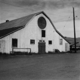
Photograph depicts a cattle barn of the Douglas Lake Ranch.
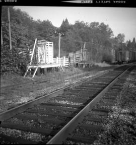
Photograph depicts a cattle dock about 1/4 mile west of the former site of the Haney CPR depot. To the left and west of the dock is a meat processing plant which used to use the dock but does not anymore. The view is looking northeast.
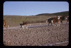
Photograph depicts cows and calves walking on gravel beside paved road. Field and tree-covered hills can be seen in background. Handwritten annotation on recto of mounted slide reads: "Spring in Lejak [sic]".
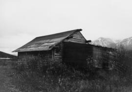
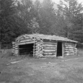
Photograph depicts a cattle shed located 3 miles east of Pavilion Lake, which is 15 miles northeast of Lillooet. It may have been a settler's cabin at one time.
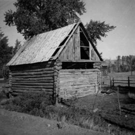
Photograph depicts a cattle shelter/ barn at the head of Nicola Lake, 20 miles east of Merritt, near the Douglas Lake road turnoff.
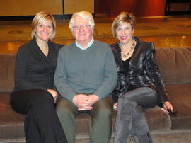
Photograph depicts Cayla Runka, Gary Runka, and Shaundehl Runka.
Image depicts Cayoosh Creek.
