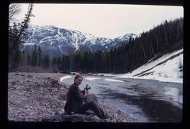
Image depicts an unidentified woman with a camera sitting on the bank of a river.
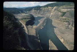
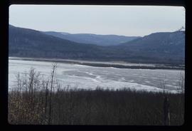
Image depicts a section of the Peace River blocked off by the W.A.C. Bennett Dam. The dam itself is not visible in the image.
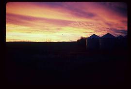
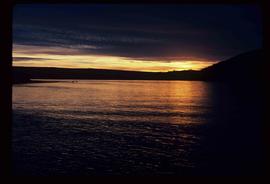
Image depicts a view of a sunset at an uncertain location, possibly in the Peace River Region.
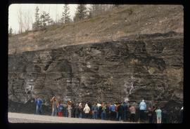
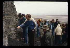
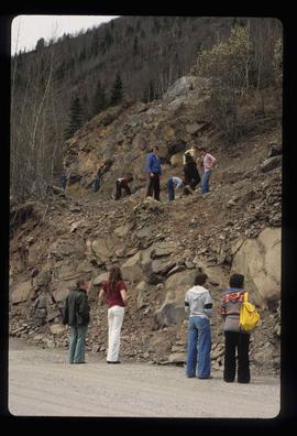
Image depicts a large group of people examining the sediment layers in a rock face.
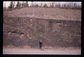
Image depicts an unidentified individual standing in front of a rock face with visible sediment layers. Located somewhere in the Peace River Region, possibly near Hudson's Hope.
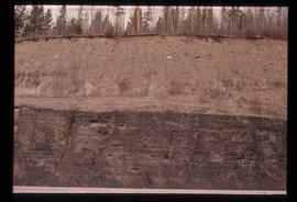
Image depicts a wall of rock with visible sediment layers at an uncertain location in the Peace River Region, possibly near Hudson's Hope.
Image depicts a large group of people examining the sediment layers in a rock face.
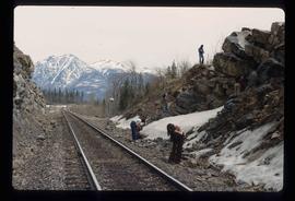
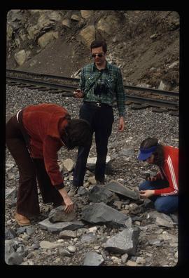
Image depicts a group of individuals who appear to be searching through the rocks near a railway track. It is possibly part of an educational trip.
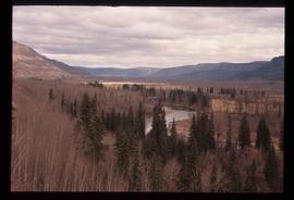
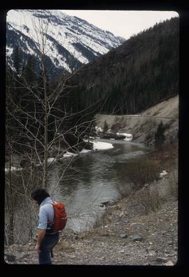
Image depicts what is either the Peace or Kiskatinaw River in Pine Valley, B.C.
File contains slides depicting places in or near Pine Pass and along the Peace River.
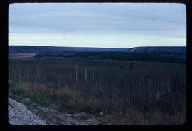
Image depicts a section of forest located somewhere in the Peace River Regional District of B.C.
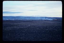
Image depicts grass burning at an uncertain location in the Peace River Region.
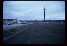
Image depicts a street of shops at an uncertain location somewhere in the Peace River Regional District. A pink and blue building, possibly a theatre, is labelled "Lux."
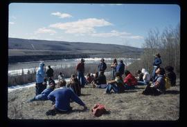
Image depicts a large group of unidentified individuals sitting on a hill; what is possibly the Peace River is visible in the background.
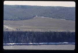
Image depicts what is possibly the Peace River running next to some farm land at an uncertain location.
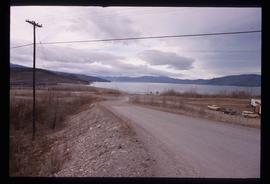
Image depicts a dam and a reservoir of water, possibly on the Peace River.
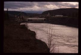
Image depicts a dam, possibly on the Peace River.
Image depicts a dam on what is possibly the Peace River.
File contains slides depicting places along the Peace River.
Image depicts the Peace River, possibly near Clayhurst or Hudson's Hope, B.C.
Image depicts the Peace River, possibly near Clayhurst or Hudson's Hope, B.C.
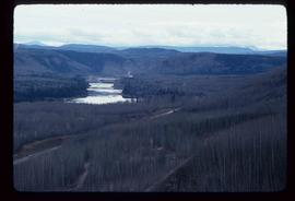
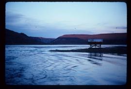
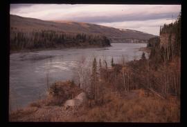
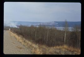
Image depicts what is possibly the Peace River.
Image depicts what is possibly the Peace River.
Image depicts a river, possibly the Peace River.
Image depicts what is possibly the Peace River running parallel to a road, possibly Highway 29.
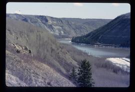
Image depicts the Peace River.
Image depicts the Peace River.
Image depicts the Peace River.
Image depicts the Peace River, possibly near Hudson's Hope, B.C.
Image depicts the Peace River.
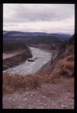
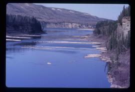
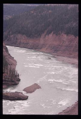
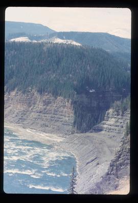
Image depicts the Peace River and visible layers of sediment deposits in the surrounding cliffs.
Image depicts the Peace River, possibly somewhere near Fort St. John, B.C.
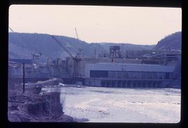
Image depicts the Peace Canyon Dam and generating station under construction on the Peace River.
Consists of two photograph albums that illustrate Parker Bonney's early years as a Forest Engineer. Includes photographs of the expedition to the Nass Valley undertaken by Parker Bonney, Sam Brown, and others. May also include photographs of later surveying expeditions.
Sans titreImage depicts a delta at Moberly Lake north of Chetwynd and south of Hudson's Hope, B.C.
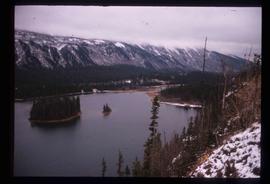
Image depicts an obstructed view of Moberly Lake, located north of Chetwynd and south of Hudson's Hope, B.C.
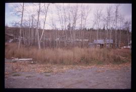
Image depicts a cabin and several other buildings, possibly located in Hudson's Hope, B.C.
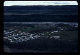
Image depicts a view of numerous houses and a ballpark at an uncertain location. It is possibly located somewhere in the Peace River Region.
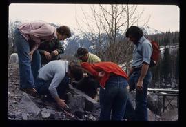
Image depicts numerous individuals who appear to be searching among the rocks on a ledge at an uncertain location in the Peace River Region.
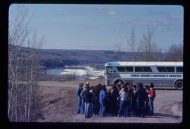
Image depicts a group of individuals and a bus with words that read: "Prince George Limousine & Charter." The river in the background is possibly the Peace River, and the location is possibly somewhere near Fort St. John, B.C.
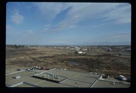
Image depicts a view of Fort St. John, B.C.
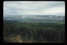
Image depicts an area of forests and fields somewhere near Fort St. John, B.C.
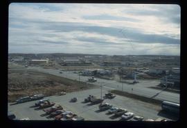
Image depicts a view of Fort St. John, B.C.
Image depicts three unidentified individuals examining rocks near a set of railway tracks at an uncertain location in the Peace River Region.
Image depicts a group of individuals who appear to be examining a rock. It is possibly part of an educational trip.
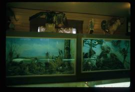
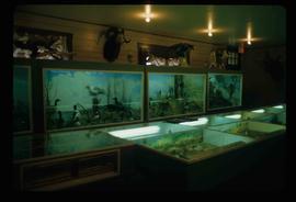
Image depicts stuffed wildlife exhibits inside the Station Museum in Dawson Creek, B.C.
Image depicts stuffed wildlife exhibits inside the Station Museum in Dawson Creek, B.C.
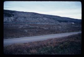
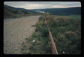
Image depicts a road with a guardrail and open fields somewhere near Dawson Creek, B.C.
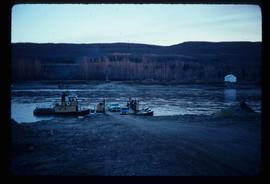
Image depicts the Clayhurst Ferry on the Peace River.
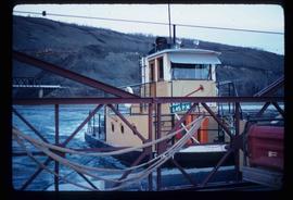
Image depicts the Clayhurst Ferry on the Peace River.
