Detail of Salix catkins after fruiting
Detail of new growth of <i>Salix</i>
File consists of a draft copy of the Official Community Plan for the Willow River-Upper Fraser Valley through the 1990's.
File consists of notes and reproductions relaintg to the Willow River townsite.
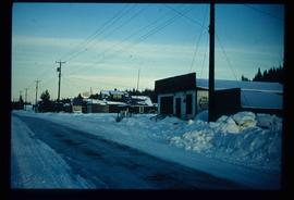
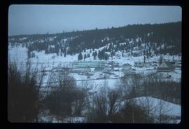
Image depicts a snowy street in Willow River, B.C. There are several buildings, one is an Esso station and another is labelled as "Red & White Food Store."
Prince George, British Columbia
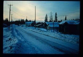
Image depicts a snowy street in Willow River, B.C. with a row of houses. The white building on the end with the Pepsi sign is the Willow River General Store. Map coordinates 54°04'18.3"N 122°28'14.7"W
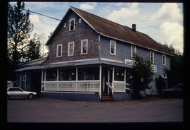
Image depicts the Willow River General Store. Map coordinates 54°04'23.7"N 122°28'26.9"W
File consists of notes and reproductions relating to the Willow River Elementary School.
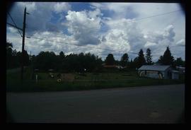
Image depicts a playground in Willow River, B.C. The slide labels it as being a "former hotel site." Map coordinates 54°04'23.7"N 122°28'26.9"W
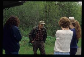
Image depicts a group of people somewhere in Willow River, B.C. The man in the plaid shirt and beige cap is identified on the slide as being Lloyd Edwards.
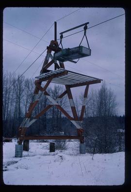
Image depicts the cableway in Willow River, B.C.
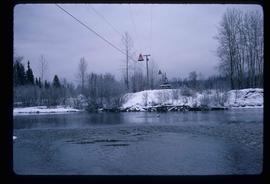
Image depicts the cableway, stretching over a river, in Willow River, B.C.
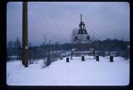
Image depicts the cableway in Willow River, B.C.
File consists of notes, clippings, and reproductions relating to the community of Willow River.
Northern British Columbia
Detail of Salix catkins fruiting
Detail of flowerheads
Detail of Salix catkins
Detail of Salix catkins
File consists of an original copy of the "Williston Reservoir Dust Control Feasibility Study Interim Report" by the UNBC Faculty of Natural Resources and Environmental Studies Research and Consulting Team.
File consists of four field note journals. Collected notes and data appear to relate to dust studies.
File consists of slides depicting Teapot Mountain, Bear Lake, UNBC campus, Lake Babine, Log Lake, West Lake, Pineview, Eskers Provincial Park, Williston Lake, and a moose.
File consists of photographs of the Williston Circle Recognition Event in June 2004.
File consists of photographs of the Williston Circle Event at Dr. Jago's House.
Photograph depicts a man standing in the doorway of Jack Henderson-Roe's log cabin. Trees in background ; a snowy expanse in foreground.
Photograph taken on the Williams Lake to Bella Coola road.
This file consists of 4 copy prints and negatives depicting the Williams Lake townsite, Stampede, and Chimney Creek bridge.
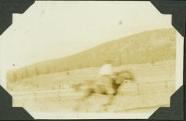
Caption: Williams Lake Stampede, caribou country. Speed? Note the open country; semi dry belt. Item is a blurred photograph of a man on horse back.
Digitized video clip of silent film footage depicts the Williams Lake Stampede and a parade.
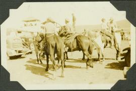
Caption: Williams Lake Stampede, caribou country. Most of the horses aren't much for looks, but they have other qualities. Item is a photograph of four boys (?) on horseback standing in a parking lot.
A b&w plan drafted on a tracing paper, produced by Central Planning and Management Consulting LTD. Prince George. Mackenzie Ave. is identified on the plan. It shows lot, roads and subdivisions.
A b&w plan illustrating subdivision of a region around Second St. and Mackenzie Ave in Williams Lake. Plan is produced by Central Planning and Management Consulting LTD. in Prince George.
Cariboo - Chilcotin region of British Columbia
Image depicts the St. Joseph's Mission in Williams Lake, B.C.
File contains slides depicting places in the area around Williams Lake, Clinton, and the Fraser Canyon.
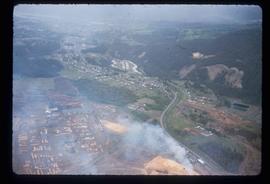
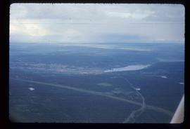
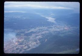
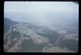
Image depicts an aerial view of Williams Lake, B.C.
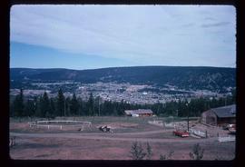
Image depicts a view of Williams Lake, B.C.
Lake viewed through coniferous frame, Cariboo-Chilcotin region of British Columbia
Image depicts an aerial view of Williams Lake, B.C.
Image depicts an aerial view of Williams Lake, B.C.
Image depicts an aerial view of Williams Lake, B.C.
Collection consists of 1 topographical map with red colouring entitled "Map of Placer Mines & Quartz Locations in the Vicinity of Williams Creek, Cariboo District B.C." Surveyed and Drawn by Amos Bowman, Mining Engineer, Assisted by James McEvoy, B.A. Sc., printed by the Geological Survey Department, Canada
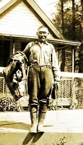
Photograph depicts a man wearing rubber boots, standing on a board walk, a house in the background. Handwritten annotation below photograph reads, "Sweet Wm Smith".
File consists of research materials concerning ornithologist William Rowan. File includes photocopied published and archival research materials, publications, handwritten notes, photographs, and related correspondence.
File consists of archival research materials and related correspondence concerning William Rowan.
File consists of Ainley's Social Sciences and Humanities Research Council (SSHRC) grant application and approval for her research on "William Rowan: A Biography." File includes application forms, correspondence, notes, and a SSHRC publication "Research Grants: Guide for Applicants."
