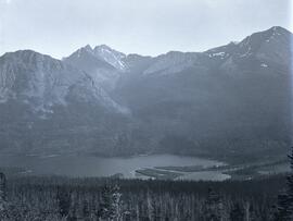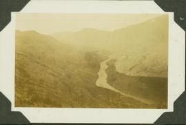
2004.1.2.3.4
·
Item
·
ca. 1935
Parte de Phipps-Mackenzie Collection
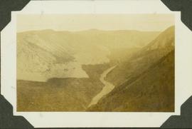
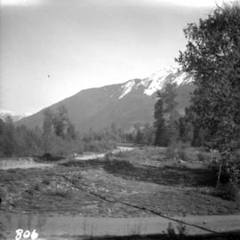
Caption: Looking from the track. Fraser River; taken in the early morning hence the shadow. In the dry-belt little vegetation, sage brush, trees only where they catch the snow. Item is a landscape photograph over looking the Fraser River and surrounding canyon.