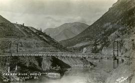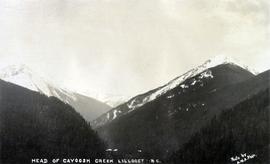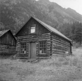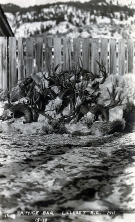
2020.08.54
·
Item
·
1911
Parte de Pacific Great Eastern Railway Region Photograph Collection
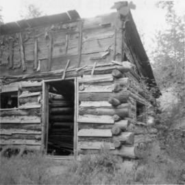
Photograph depicts a pile of hunting trophies in Lillooet, B.C. Visible are what appear to be mule deer antlers, big horn sheep horns, and mountain goat pelts and horns.