2013.6.36.1.005.10
·
Pièce
·
Oct. 1965
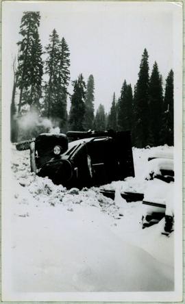
Fait partie de David Davies Railway Collection
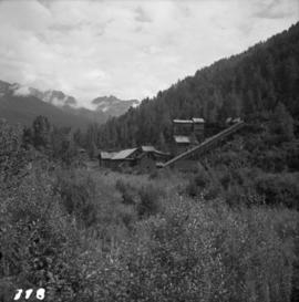
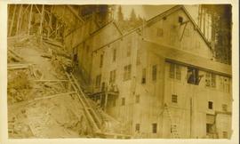
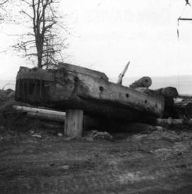
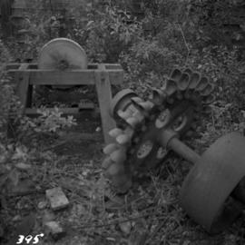
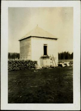
Photograph depicts a mine 200 yards south of Moyie village, which is 20 miles south of Cranbrook. It produced silver, zinc, and lead from 1900-1910 and had a smelter a quarter mile away. The shaft was 900 ft. deep, with levels going under Moyie Lake. The head gear dates from 1925-1935 and has electric winding.