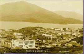
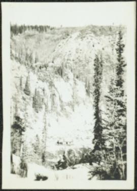
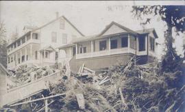
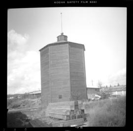
2006.45.12
·
Pièce
·
[ca. 1897]
Fait partie de Historical North Coast Photograph Album
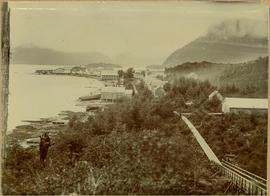
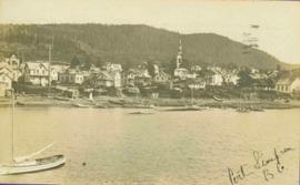
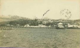
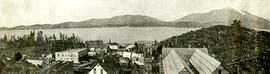
Town on right, water on left, mountains in background. Forest trees in foreground.
Handwritten photo caption below image reads: "Port ESSINGTON".