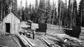
2014.2.1.03
·
Pièce
·
[after 1941]
Fait partie de Cornel Neronovitch Logging and Sawmills Collection
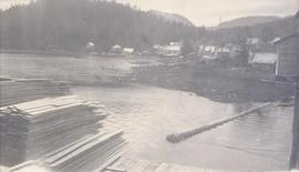
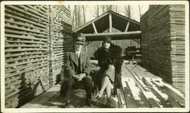
Photograph depicts a male worker standing amid stacks of lumber in a lumber yard at Peden Hill sawmill.