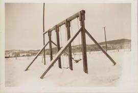
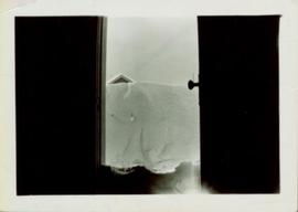
Side perspective of wooden swings covered in snow. Handwritten annotation in pen on verso reads: “The school swings.”
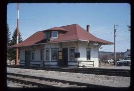
Image depicts the old Giscome Train Station in Giscome, B.C. It was demolished between 1976 and 1977.
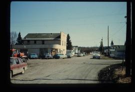
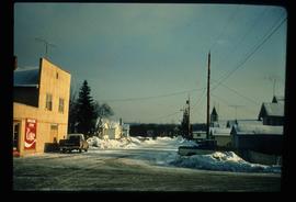
Image depicts a street in Giscome B.C. The Giscome Store is located on the left side of the image with the church in the background. Map coordinates 54°04'18.5"N 122°21'57.7"W
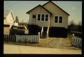
Image depicts a house with the main floor and entrance high off the ground. The location is uncertain, likely Giscome, B.C.
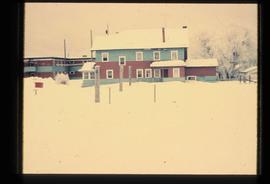
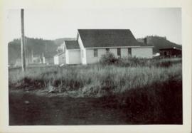
Image depicts a house in Giscome, B.C. Map coordinates 54°04'17.6"N 122°22'06.1"W
Image depicts the Giscome B.C. townsite from across the railroad tracks looking southeast. Map coordinates 54°04'19.7"N 122°22'04.7"W
Image depicts the Giscome B.C. townsite from across the railroad tracks looking southeast. Map coordinates 54°04'19.7"N 122°22'04.7"W
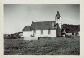
Side perspective of Knox United Church in winter. Handwritten annotation in pen on verso reads: “The United Church.”
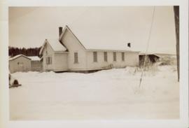
Side perspective of Knox United Church located on Brown Ave. in Giscome. Handwritten annotation in pen on verso reads: “United Church.”
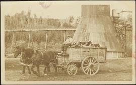
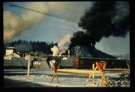
Man driving a two horse cart in front of beehive burner, cart is full of bark presumably sawed off the logs.
Handwritten annotation in pencil on verso: "Mill Burner".
Overview of the Giscome sawmill behind road. Lumber yard is visible in foreground while mill stands in background.
Handwritten annotation in pencil on verso: "Giscome Mill / lumber yard in foreground".
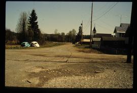
Image depicts an open field and numerous buildings, including a church in Giscome, B.C. Map coordinates 54°04'03.2"N 122°22'04.6"W
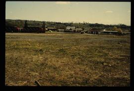
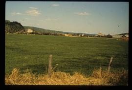
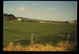
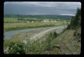
Image depicts a field in Giscome, B.C. On the right side of the image, in the background, is a grey strip that appears to be a mine, possibly the quarry at Eaglet Lake in Giscome, B.C. Map coordinates 54°03'52.9"N 122°22'10.0"W
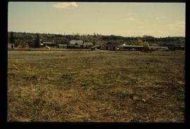
Image depicts a field in Giscome, B.C. On the right side of the image, in the background, is a grey strip that appears to be a mine, possibly the quarry at Eaglet Lake in Giscome, B.C. Map coordinates 54°03'52.9"N 122°22'10.0"W
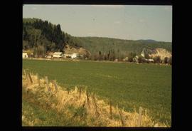
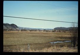
Image depicts an open field and Giscome, B.C. in the background. Map coordinates 54°03'52.9"N 122°22'10.0"W
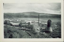
Photographic overview of the Eagle Lake Sawmill. Handwritten annotation in pen on verso reads: “The mill.”
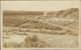
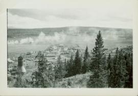
Overhead photograph of Giscome with the Eagle Lake Sawmill's beehive burner clearly visible in left foreground. Handwritten annotation in pen on verso reads: “Part of our community. school * ”
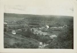
Overhead photograph of Giscome buildings with Eaglet Creek running through the foreground. Handwritten annotation in pen on verso reads: “Notice the flatness of the land. Part of our community.”
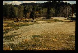
Previous site of sawmill in Giscome, B.C. looking northwest. Map coordinates 54°04'19.7"N 122°22'04.7"W
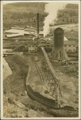
Handwritten annotation in pencil on verso: "Daily Capacity 100,000 f.b.m. sawmill in foreground planer mill and lumber yard in background.”
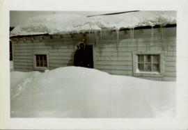
Photo displays the height of the snow on the front porch of the Giscome teacherage after a blizzard.
Side perspective of St. Frederick’s Catholic Church located on Brown Ave. in Giscome. Handwritten annotation in pen on verso reads: “The Catholic Church, St. Frederick.”
Image depicts a street in Giscome. The store was previously located on the left. The church is in the background. Map coordinates 54°04'18.5"N 122°21'57.7"W
Image depicts a street in Giscome B.C. The Giscome Store is located on the left side of the image with the church in the background. Map coordinates 54°04'18.5"N 122°21'57.7"W
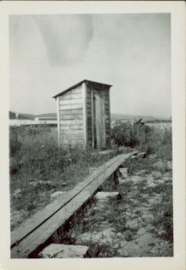
Small wooden outhouse with wooden planked pathway sits in an open field behind the Teacherage. Handwritten annotation in pen on verso reads: “Behind the teacherage. Guess what?”
Bob White, a teacher, standing on the porch of the teacherage after a blizzard.
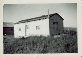
Side perspective of the teacherage located on Brown Ave. in Giscome. Photo taken in September. Handwritten annotation in pen on verso reads: “The Teacherage.”
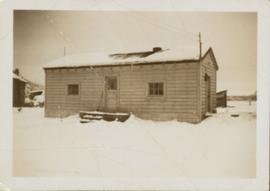
Side perspective of the teacherage located on Brown Ave. in Giscome. Photo taken in November after the first snow. Handwritten annotation in pen on verso reads: “Our House.”
Image depicts several trains at the Giscome mill site in Giscome, B.C. Map coordinates 54°04'19.7"N 122°22'04.7"W
Image depicts a view of Giscome with a train passing through.
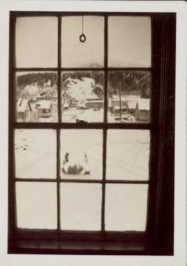
Handwritten annotation in pen on verso reads: “Looking out of our classroom window up the street.” According to the donor, the car stuck in the snow belonged to his colleague, Bob White.
