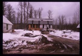
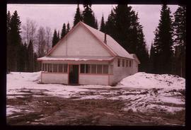
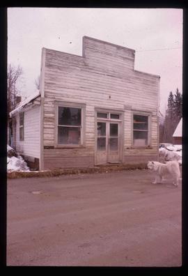
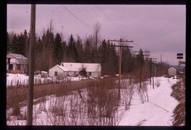
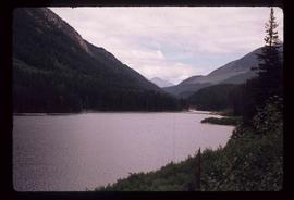
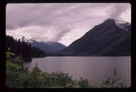
Showing 2097 results

Archival description
2097 results with digital objects Show results with digital objects
Dock
2012.13.1.60.18 · Item · July 1973
Part of J. Kent Sedgwick fonds

Image depicts a dock on a lake in Carp Lake Provincial Park, possibly War Lake.

Dog Creek
2012.13.1.52.57 · Item · [1980?]
Part of J. Kent Sedgwick fonds

Image depicts a house and numerous rundown vehicles in Dog Creek, B.C.

Dog on a Path
2012.13.1.60.15 · Item · July 1973
Part of J. Kent Sedgwick fonds

Image depicts a dog standing on a path through the woods somewhere in Carp Lake Provincial Park.

Dog on Bridge
2012.13.1.56.09 · Item · 1973
Part of J. Kent Sedgwick fonds

Image depicts an unknown individual and a dog on a bridge over what is possibly the Robson River.

Driftwood Creek
2012.13.1.62.03 · Item · June 1978
Part of J. Kent Sedgwick fonds

Image depicts a number of identical buildings and vehicles at "Driftwood Creek" in the Driftwood Canyon Provincial Park.

Driftwood Station
2012.13.1.62.02 · Item · June 1978
Part of J. Kent Sedgwick fonds

Image depicts the Driftwood BCR station, possibly located near Driftwood Creek in the Driftwood Canyon Provincial Park east of Smithers, B.C.

Driveway in Newlands, BC
2012.13.1.87.102 · Item · [between 1975 and 1995]
Part of J. Kent Sedgwick fonds

Image depicts a driveway cordoned off by a red mesh material in Newlands, B.C. The address of the house is labelled 31951, and the name listed is "Fauchers." Map coordinates 54°06'47.8"N 122°08'22.4"W

Ducks
2012.13.1.50.055 · Item · 1978
Part of J. Kent Sedgwick fonds

Image depicts a large flock of ducks in a field full of water at an unknown location.

Dunlevy Creek?
2012.13.1.50.138 · Item · 2006
Part of J. Kent Sedgwick fonds

Image depicts the Dunlevy Creek area somewhere near Dawson Creek, B.C. The slide is simply labelled "Dunlevy irrigation" for uncertain reasons.

Dunlevy Creek?
2012.13.1.50.137 · Item · 2006
Part of J. Kent Sedgwick fonds

Image depicts the Dunlevy Creek area somewhere near Dawson Creek, B.C. The slide is simply labelled "Dunlevy irrigation" for uncertain reasons.

Eaglet Lake?
2012.13.1.87.082 · Item · [between 1975 and 1995]
Part of J. Kent Sedgwick fonds

Image depicts a lake at an uncertain location, likely Eaglet Lake.

Eaglet Lake Creek
2012.13.1.89.095 · Item · [1980?]
Part of J. Kent Sedgwick fonds

Image depicts the creek flowing into Eaglet Lake. A grey area of hill on the right side of the image appears to be the Giscome Quarry. Map coordinates 54°04'26.2"N 122°22'04.3"W