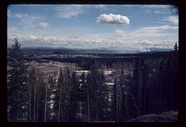
File contains slides depicting places along Route 80 in the USA.
File contains slides depicting various places in the USA.
The item is a photograph of a utility trailer and parking lot on 3rd Avenue in Prince George. Trailer is from GE Capital Modular Space with a sign stating "Third Ave. Revitalization : Surface Demolition and Removal of Canopies"
File consists of notes, clippings, and reproductions relating to Valemount. Also includes a photograph depicting the Valemount autowrecker (2005).
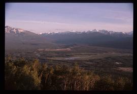
Image depicts a view of Valemount, with numerous mountains in the background.
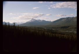
Image depicts a view of a mountain range near Valemount, B.C. Valemount is barely visible among the trees on the right side of the image.
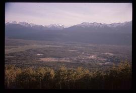
Image depicts a view of Valemount with numerous mountains in the background.
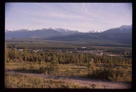
Image depicts a view of Valemount with numerous mountains in the background.
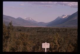
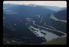
Image depicts a distant view of what appears to be a body of water, with numerous mountains in the background. The slide is labelled "Valemount reservoir."
Image depicts the Valemount CN Station.
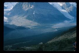
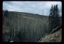
Image depicts a view of a small valley in Mt. Robson Provincial Park.
Image depicts a river running through a valley-like area somewhere near Bralorne, B.C.
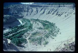
Image depicts a valley of fossil beds, possibly the Bulkley Valley.
Item is an original 2003 city map depicting Vancouver and the Fraser Valley published by Rand Mc Nally, with annotations in highlighting.
Item is an original 1971 map depicting Vancouver Island, British Columbia, published by the Department of Lands, Forests and Water Resources of British Columbia.
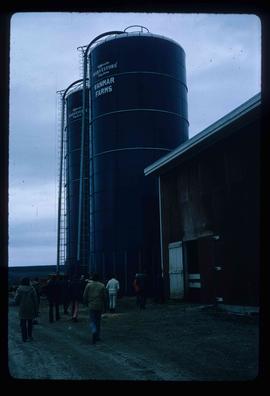
Image depicts a barn with large, Harvestore Systems. It is possibly located on one of the many farms near Vanderhoof, B.C.
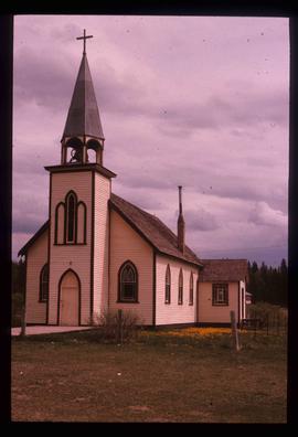
Image depicts a Catholic Church on Stoney Creek Road in Vanderhoof, B.C.
File consists of notes and reproductions relating to Vanderhoof and area.
File consists of notes and reproductions relating to the Vanderhoof and area townsites. Also includes a map depicting the South Hazelton townsite before 1980.
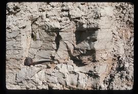
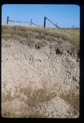
Image depicts an example of varves, an annual layer of sediment or rock, with a pipe used for reference size. It is possibly located at the airport in Prince George, B.C.
Image depicts an example of varves, an annual layer of sediment or rock, possibly located at the airport in Prince George, B.C.
File contains slides depicting vegetation and a few maps.
The photograph depicts a cylindrical metal venting stack at the interior of the CN roundhouse in Prince George, BC. Reproduction of photograph from 1984.
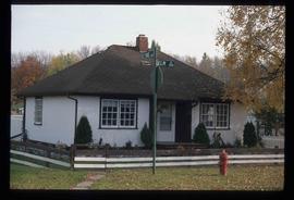
Image depicts a property given to the Veterans of the Second World War, located on the corner of 15th Avenue and Elm Street in Prince George, B.C.
File consists of notes, clippings, and reproductions relating to veteran housing in Prince George. File predominantly consists of clipped and photocopied articles about a lack of housing for returning veterans from the Second World War. Also includes a photograph of a house in the Millar Addition.
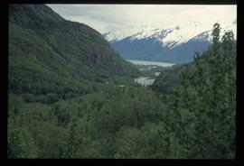
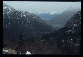
Image depicts a view over a forested, mountainous area and a river somewhere in the area of Skagway, Alaska.
Image depicts a view over a forested, mountainous area and a river towards the vicinity of Skagway, Alaska.
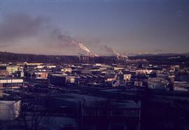
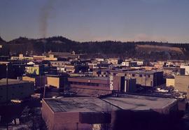
Image depicts a view of Prince George from City Hall looking northeast with the pulp mills in the background. Map coordinates 53°54'46.3"N 122°44'41.9"W
Image depicts a view of the Millar Addition suburb from Connaught Hill in Prince George, B.C.
Image depicts a view of Prince George from Gunn Point in the L.C. Gunn Park looking north. Map coordinates 53°54'26.2"N 122°43'35.8"W.
Image depicts a view of Prince George from Gunn Point in the L.C. Gunn Park looking north. Map coordinates 53°54'26.2"N 122°43'35.8"W.
Image depicts a view of Prince George from Gunn Point in the L.C. Gunn Park looking north. Map coordinates 53°54'26.2"N 122°43'35.8"W.
Image depicts a view of Prince George from Gunn Point in the L.C. Gunn Park looking north. Map coordinates 53°54'26.2"N 122°43'35.8"W.
Image depicts a view of Prince George from Gunn Point in the L.C. Gunn Park looking north. Map coordinates 53°54'26.2"N 122°43'35.8"W.
Image depicts a view of Prince George from Gunn Point in the L.C. Gunn Park looking north. Map coordinates 53°54'26.2"N 122°43'35.8"W.
Image depicts a view of Prince George from Gunn Point in the L.C. Gunn Park looking north. Map coordinates 53°54'26.2"N 122°43'35.8"W.
Image depicts a view of Prince George from Gunn Point in the L.C. Gunn Park looking north. Map coordinates 53°54'26.2"N 122°43'35.8"W.
Image depicts a view of Prince George from Gunn Point in the L.C. Gunn Park looking north. Map coordinates 53°54'26.2"N 122°43'35.8"W.
Image depicts a view of Prince George from Gunn Point in the L.C. Gunn Park looking north. Map coordinates 53°54'26.2"N 122°43'35.8"W.
The item is a photograph depicting a dip between two hills of Woodpecker Landing Road. Annotation on reverse side of photograph states, "cut at powerline Woodpecker Ldg. Rd."
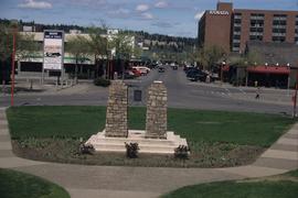
Image depicts a view of Prince George from City Hall looking northeast along George Street. Includes a back view of the Prince George cenotaph. Map coordinates 53°54'46.3"N 122°44'41.9"W
Image depicts downtown Prince George taken from across the Nechako River looking south. Map coordinates 53°56'00.0"N 122°44'29.7"W
Image depicts downtown Prince George taken from across the Nechako River looking south. Map coordinates 53°56'00.0"N 122°44'29.7"W
Image depicts a view of Giscome with a train passing through.
Image depicts a view of the small town of Likely, B.C.
Image depicts a view of Pine Pass on the border between Alberta and British Columbia in the Rocky Mountains.
Image depicts a view of Prince George from City Hall looking north. Map coordinates 53°54'46.3"N 122°44'41.9"W
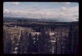
Image depicts a view of Prince George from Cranbrook Hill looking southeast. Map coordinates 53°54'51.5"N 122°49'05.2"W
Image depicts a view of Prince George from Cranbrook Hill looking east. Map coordinates 53°54'51.5"N 122°49'05.2"W
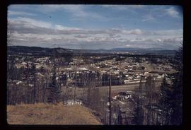
Image depicts a view of Prince George from Cranbrook Hill looking southeast. Map coordinates 53°54'51.5"N 122°49'05.2"W
