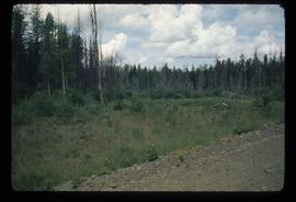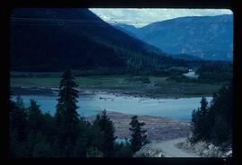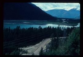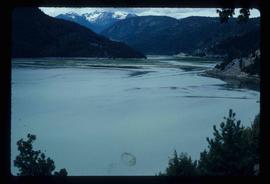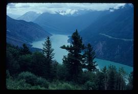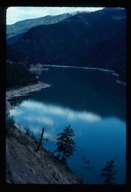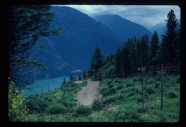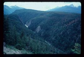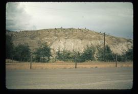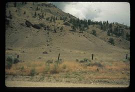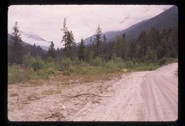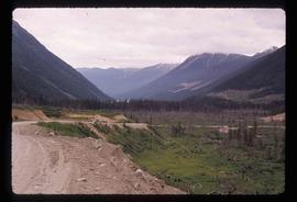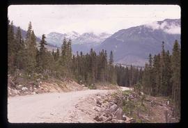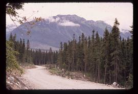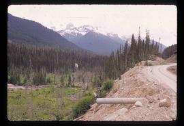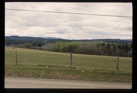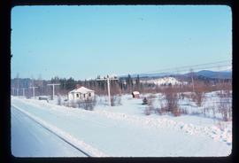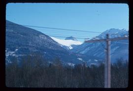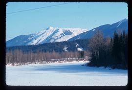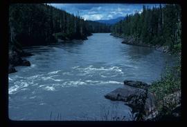
2012.13.1.68.13
·
Item
·
Aug. 1979
Parte de J. Kent Sedgwick fonds
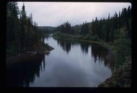
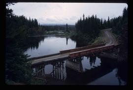
Image depicts the Nass River from a bridge at an uncertain location.