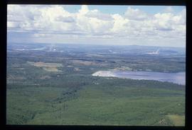
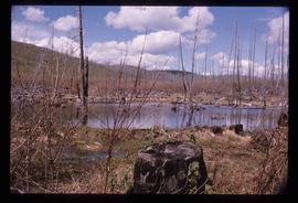
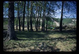
Image depicts a view of Tabor Lake.
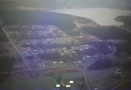
Image depicts the Tabor Lake Subdivision in Prince George, B.C.
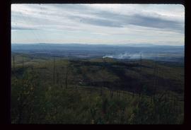
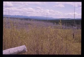
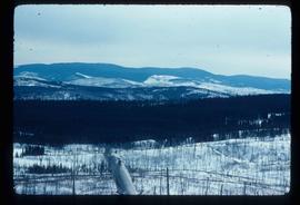
Image depicts a view of the area around Tabor Mountain in Prince George, B.C.
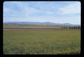
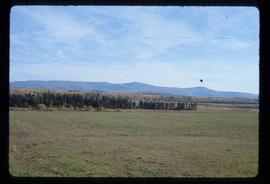
Image depicts Tabor Mountain in the distance, located in Prince George, B.C.
Image depicts a view of the area around Tabor Mountain in Prince George, B.C.
Image depicts Tabor Mountain from the airport in Prince George, B.C.
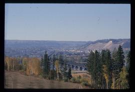
Image depicts a view of Prince George, from Gunn Point in the L.C. Gunn Park.
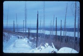
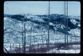
Image depicts a forest of dead trees on the slopes of Tabor Mountain in Prince George, B.C.
Image depicts a forest of dead trees on the slopes of Tabor Mountain in Prince George, B.C.
Image depicts a forest of dead trees on the slopes of Tabor Mountain in Prince George, B.C.
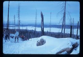
File contains slides depicting recreational activities on Tabor Mountain in Prince George, B.C.
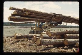
Image depicts a tractor with a claw lifting logs at a saw mill in Prince George, B.C.
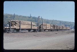
Image depicts a train carrying logs somewhere in Prince George, B.c.
Image depicts a green car among some trees on Cottonwood Island.
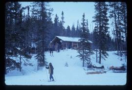
Image depicts numerous skiers at the cabin located at Troll Lake on Tabor Mountain in Prince George, B.C.
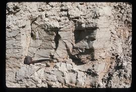
Image depicts an example of varves, an annual layer of sediment or rock, with a pipe used for reference size. It is possibly located at the airport in Prince George, B.C.
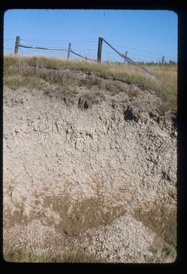
Image depicts an example of varves, an annual layer of sediment or rock, possibly located at the airport in Prince George, B.C.
Image depicts a view of the Millar Addition suburb from Connaught Hill in Prince George, B.C.
Image depicts a view of Prince George from Gunn Point in the L.C. Gunn Park looking north. Map coordinates 53°54'26.2"N 122°43'35.8"W.
Image depicts a view of Prince George from Gunn Point in the L.C. Gunn Park looking north. Map coordinates 53°54'26.2"N 122°43'35.8"W.
Image depicts a view of Prince George from Gunn Point in the L.C. Gunn Park looking north. Map coordinates 53°54'26.2"N 122°43'35.8"W.
Image depicts a view of Prince George from Gunn Point in the L.C. Gunn Park looking north. Map coordinates 53°54'26.2"N 122°43'35.8"W.
Image depicts a view of Prince George from Gunn Point in the L.C. Gunn Park looking north. Map coordinates 53°54'26.2"N 122°43'35.8"W.
Image depicts a view of Prince George from Gunn Point in the L.C. Gunn Park looking north. Map coordinates 53°54'26.2"N 122°43'35.8"W.
Image depicts a view of Prince George from Gunn Point in the L.C. Gunn Park looking north. Map coordinates 53°54'26.2"N 122°43'35.8"W.
Image depicts a view of Prince George from Gunn Point in the L.C. Gunn Park looking north. Map coordinates 53°54'26.2"N 122°43'35.8"W.
Image depicts a view of Prince George from Gunn Point in the L.C. Gunn Park looking north. Map coordinates 53°54'26.2"N 122°43'35.8"W.
Image depicts a view of Prince George from Gunn Point in the L.C. Gunn Park looking north. Map coordinates 53°54'26.2"N 122°43'35.8"W.
Image depicts downtown Prince George taken from across the Nechako River looking south. Map coordinates 53°56'00.0"N 122°44'29.7"W
Image depicts the Grand Trunk Railway bridge across the Fraser River. Map coordinates 53°54'29.0"N 122°42'06.5"W
Image depicts a view of Tabor Mountain in Prince George, B.C.
