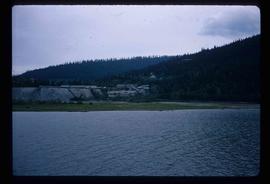
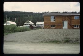
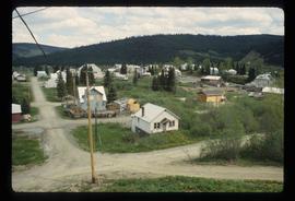
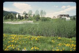
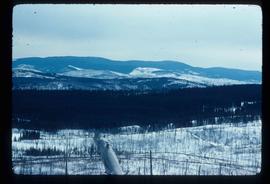
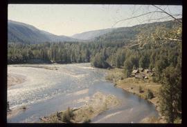
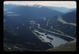
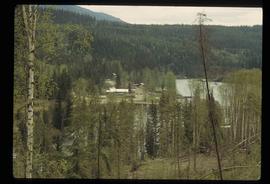
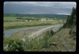
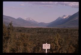
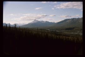
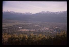
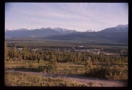
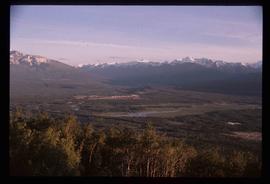
Image depicts Wells, B.C.
Image depicts Wells, B.C.
Image depicts Wells, B.C.
Image depicts Wells, B.C.
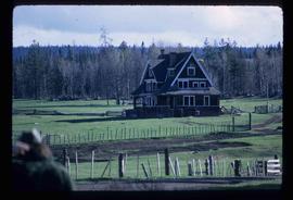
Image depicts the Watson Mansion at Mile 108 of Highway 97. It was built by Captain Geoffrey Watson in 1904, and was burned down by a chimney fire in 1983.
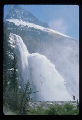
Image depicts a waterfall with a mountain peak in the background; it is most likely Mt. Robson.
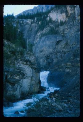
Image depicts a waterfall in what is possibly the Robson River.
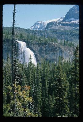
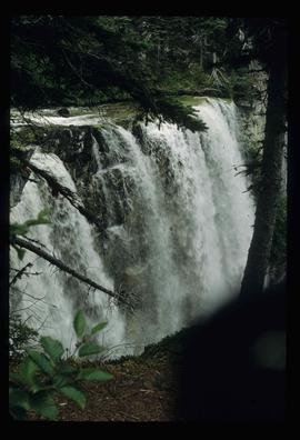
Image depicts a waterfall on a mountain side in Mt. Robson Provincial Park.
Image depicts a waterfall somewhere in South Tweedsmuir Provincial Park.
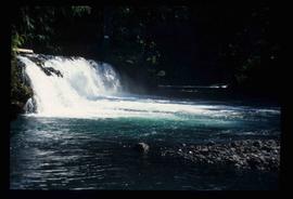
Image depicts a small waterfall at an uncertain location.
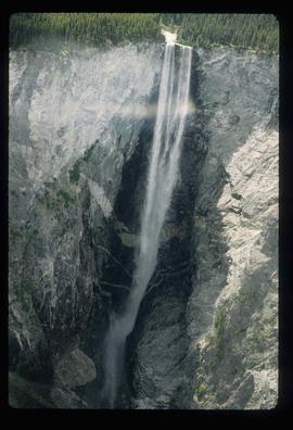
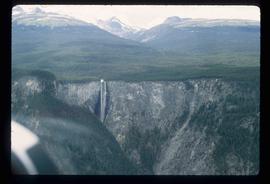
Image depicts an aerial view of a waterfall in South Tweedsmuir Provincial Park.
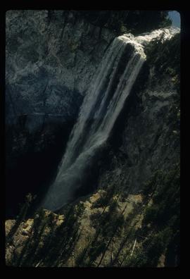
Image depicts an aerial view of a waterfall in South Tweedsmuir Provincial Park.
Image depicts an aerial view of a waterfall in South Tweedsmuir Provincial Park.
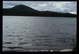
Image depicts War Lake.
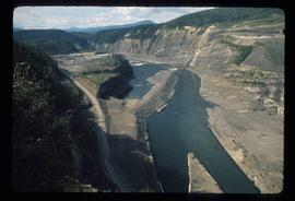
Image depicts a section of the Peace River blocked off by the W.A.C. Bennett Dam. The dam itself is not visible in the image.
File consists of notes, clippings, and reproductions relating to the Volksport trail in Prince George. The trail starts at the Prince George Railway and Forestry Museum and follows the Heritage River Trail through parks along the Fraser and Nechako Rivers with some residential walking. Includes: "Prince George Railway & Forestry Museum 11 km trail for Volkssporting members" typed document (2004) and "Presentation for Railway and Forestry Museum Directors Meeting" typed document by Audrey L'Heureux (Jan. 2004).
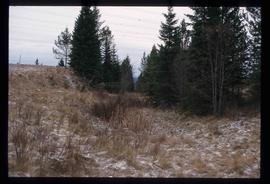
Image depicts a view south, possibly of an abandoned grade for the BCR; possibly somewhere near Woodpecker, B.C.
Image depicts a view of Tabor Mountain in Prince George, B.C.
Image depicts a view of Quesnelle Forks and the nearby river.
Image depicts a view of Pine Pass on the border between Alberta and British Columbia in the Rocky Mountains.
Image depicts a view of the small town of Likely, B.C.
Image depicts a view of Giscome with a train passing through.
Image depicts downtown Prince George taken from across the Nechako River looking south. Map coordinates 53°56'00.0"N 122°44'29.7"W
Image depicts a view of Prince George from Gunn Point in the L.C. Gunn Park looking north. Map coordinates 53°54'26.2"N 122°43'35.8"W.
Image depicts a view of Prince George from Gunn Point in the L.C. Gunn Park looking north. Map coordinates 53°54'26.2"N 122°43'35.8"W.
Image depicts a view of Prince George from Gunn Point in the L.C. Gunn Park looking north. Map coordinates 53°54'26.2"N 122°43'35.8"W.
Image depicts a view of Prince George from Gunn Point in the L.C. Gunn Park looking north. Map coordinates 53°54'26.2"N 122°43'35.8"W.
Image depicts a view of Prince George from Gunn Point in the L.C. Gunn Park looking north. Map coordinates 53°54'26.2"N 122°43'35.8"W.
Image depicts a view of Prince George from Gunn Point in the L.C. Gunn Park looking north. Map coordinates 53°54'26.2"N 122°43'35.8"W.
Image depicts a view of Prince George from Gunn Point in the L.C. Gunn Park looking north. Map coordinates 53°54'26.2"N 122°43'35.8"W.
Image depicts a view of Prince George from Gunn Point in the L.C. Gunn Park looking north. Map coordinates 53°54'26.2"N 122°43'35.8"W.
Image depicts a view of Prince George from Gunn Point in the L.C. Gunn Park looking north. Map coordinates 53°54'26.2"N 122°43'35.8"W.
Image depicts a view of Prince George from Gunn Point in the L.C. Gunn Park looking north. Map coordinates 53°54'26.2"N 122°43'35.8"W.
Image depicts a view of the Millar Addition suburb from Connaught Hill in Prince George, B.C.
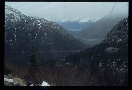
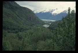
Image depicts a view over a forested, mountainous area and a river towards the vicinity of Skagway, Alaska.
Image depicts a view over a forested, mountainous area and a river somewhere in the area of Skagway, Alaska.
File contains slides depicting vegetation and a few maps.
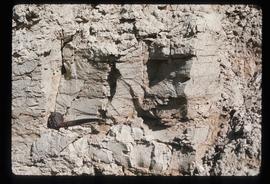
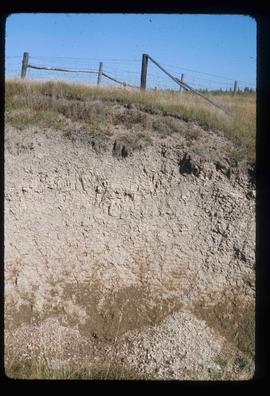
Image depicts an example of varves, an annual layer of sediment or rock, with a pipe used for reference size. It is possibly located at the airport in Prince George, B.C.
Image depicts an example of varves, an annual layer of sediment or rock, possibly located at the airport in Prince George, B.C.
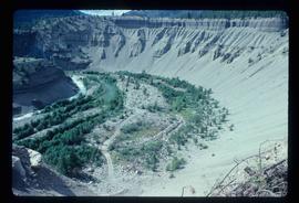
Image depicts a valley of fossil beds, possibly the Bulkley Valley.
Image depicts a view of a small valley in Mt. Robson Provincial Park.
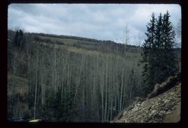
Image depicts a river running through a valley-like area somewhere near Bralorne, B.C.
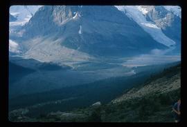
Image depicts a distant view of what appears to be a body of water, with numerous mountains in the background. The slide is labelled "Valemount reservoir."
Image depicts a view of a mountain range near Valemount, B.C. Valemount is barely visible among the trees on the right side of the image.
Image depicts a view of Valemount with numerous mountains in the background.
Image depicts a view of Valemount with numerous mountains in the background.
Image depicts a view of Valemount, with numerous mountains in the background.
File contains slides depicting various places in the USA.
File contains slides depicting places along Route 80 in the USA.
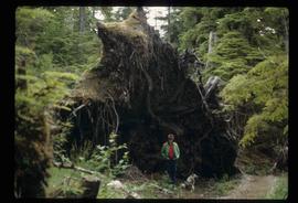
Image depicts an individual standing next to what appears to be the base of a very large, uprooted tree, located somewhere in the coastal forest of Haida Gwaii, B.C.
