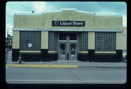
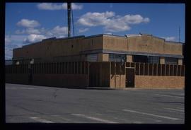
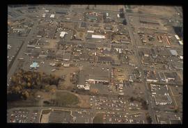
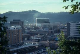
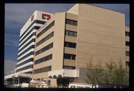
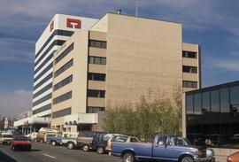
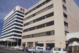
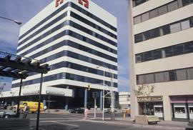
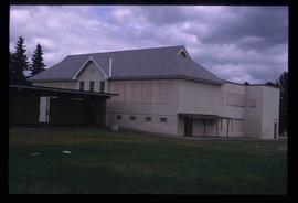
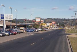
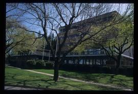
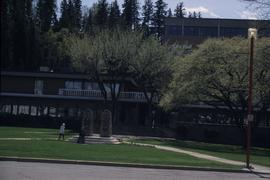
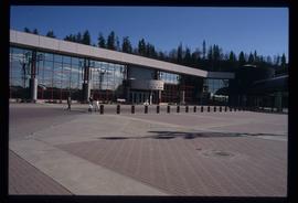
Image depicts the BC Liquor Store in Prince George, B.C.
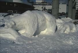
Image depicts a snow sculpture of a bear, possibly during the Winter City Conference, in Prince George, B.C. Taken at the Prince George Civic Center. Map coordinates 53°54'45.6"N 122°44'59.6"W
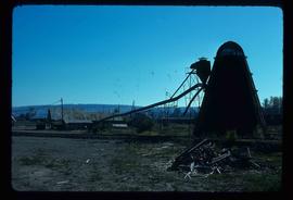
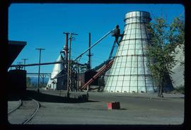
Image depicts a bee-hive burner beside a rail-road track at an unidentified mill somewhere in Prince George, B.C.
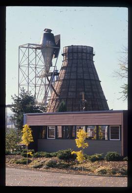
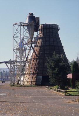
Image depicts a Beehive Burner along the Nechako on River Road. Map coordinates 53°55'34.1"N 122°44'58.0"W
Image depicts a Beehive Burner along the Nechako on River Road. Map coordinates 53°55'34.1"N 122°44'58.0"W.
Image depicts a Beehive Burner along the Nechako on River Road. Map coordinates 53°55'34.1"N 122°44'58.0"W
Subseries contains secondary material collected by Kent Sedgwick for research on the history and geography of Prince George and its region. Includes secondary sources and bibliographic references regarding the history and geography of Prince George and the Central Interior of British Columbia. The files primarily consist of photocopied articles and printed bibliographies.
Image depicts a view of Blackburn Schools, possibly taken from Tabor Mountain.
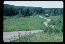
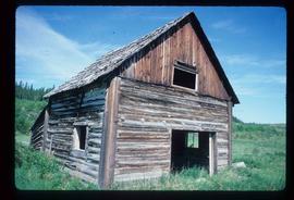
Image depicts an abandoned cabin and shed on Blackwater Road.
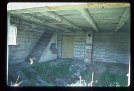
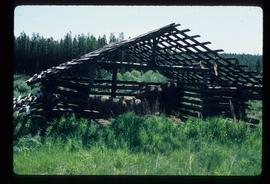
Image depicts the interior of an abandoned, deteriorating cabin on Blackwater Road.
Image depicts an abandoned, deteriorating cabin on Blackwater Road.
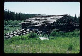
Image depicts a shed on Blackwater Road.
Image depicts a shed on Blackwater Road.
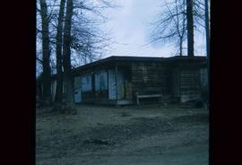
Image depicts a boarded up building in Island Cache.
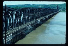
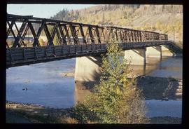
Image depicts a bridge in Prince George, B.C.
Image depicts a bridge in Prince George, B.C.
Image depicts a bridge in Prince George, B.C.
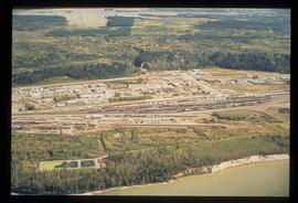
Image depicts an aerial view of the BC Rail, in Prince George, B.C. It is now known as CN Rail.
Photograph depicts Buchanan Benson Real Estate and Insurance at 1276 4th Avenue.
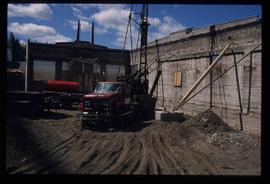
Image depicts an unknown building under construction at the corner of 6th Avenue and Dominion Street in Prince George, B.C.
Image depicts an unknown building under construction at the corner of 6th Avenue and Dominion Street in Prince George, B.C.
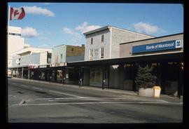
Image depicts a street of businesses, possibly 3rd Avenue, in Prince George, B.C.
Photograph depicts various businesses along 3rd Avenue. The businesses include the Europe Hotel and The Bay in the background. Annotation on verso: "left Europe Hotel, right shearer bldg".
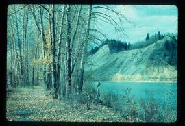
Image depicts a nature trail along the Nechako River at Island Cache looking west with the cutbanks in the background. Map coordinates 53°55'36.2"N 122°45'11.8"W
Map depicts to Canadian federal electoral districts for the 1993 federal election.
Photograph depicts Canada Trust/ Realtor at 1633 4th Avenue.
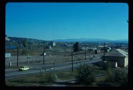
Image depicts the Canadian National Railway Yards in Prince George, B.C.
Image depicts the Canadian National Railway Yards in Prince George, B.C.
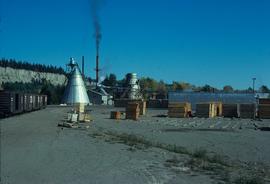
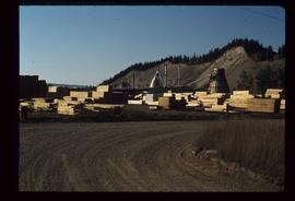
Image depicts numerous piles of wood planks at the Canadian National Railway Yards in Prince George, B.C. The cutbanks are seen in the background.
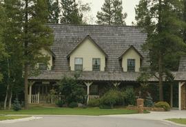
Image depicts a Cariboo Ranch style house at College Heights in Prince George, B.C.
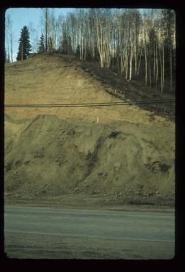
Image depicts a small slope on Carney Hill in Prince George, B.C.
Image depicts miocene gravels on Carney Hill in Prince George, B.C.
Image depicts the Carter Industrial Area in Prince George, B.C.
File contains slides depicting places in, around, and near Prince George, B.C.
Image depicts the Central Business District of Prince George looking north from Connaught Hill. Map coordinates 53°54'41.4"N 122°44'58.5"W
Image depicts 3rd Ave at Victoria St. Map coordinates 53°55'03.9"N 122°44'54.8"W
Image depicts 3rd Ave at Victoria St. Map coordinates 53°55'03.9"N 122°44'54.8"W
Image depicts 3rd Ave at Victoria St. Map coordinates 53°55'03.9"N 122°44'54.8"W
Image depicts 3rd Ave at Victoria St. Map coordinates 53°55'03.9"N 122°44'54.8"W
Image depicts an old, boarded up school, possibly the Central Fort George Traditional School in Prince George, B.C.
Image depicts Central Street West, parallel to Highway 97 in Prince George, B.C. looking north. Shown: Prince George Motors and other car dealerships, Burger King, Grama's Inn, and the Spruceland Shopping Mall sign. Map coordinates 53°54'42.1"N 122°46'53.1"W
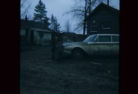
Image depicts two children standing near an old car in Island Cache.
Image depicts City Hall in Prince George, B.C.
Image depicts Prince George City Hall. Map coordinates 53°54'46.3"N 122°44'41.9"W
Map depicts the city of Prince George Boundary expansions since 1913.
Map depicts the city of Prince George with annotations of the boundary expansions from 1915 to 1964.
Map depicts the city of Prince George boundary expansions from 1913 to 1974.
Map depicts boundaries of study areas, including major study area, community study area, and the city of Prince George boundaries.
Map depicts the city of Prince George Boundary expansions since incorporation in 1915.
Image depicts the Prince George Civic Centre.
