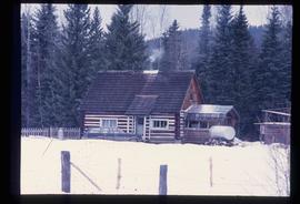
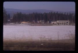
Image depicts a log cabin somewhere in Dome Creek, B.C.
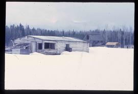
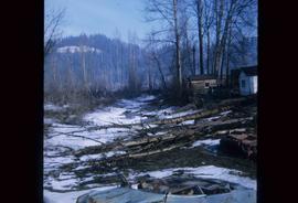
Image depicts an old, unused log cabin somewhere in Dome Creek, B.C.
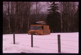
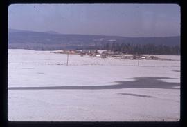
Image depicts a strangely shaped orange vehicle somewhere in Dome Creek, B.C.
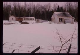
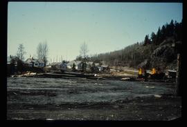
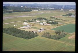
Image depicts the school and teacherage located in Dome Creek, B.C.
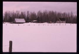
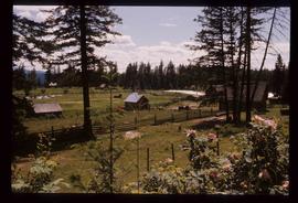
Image depicts a small farm located in Dome Creek, B.C.
File consists of notes and reproductions relating to the Dominion Land Survey system. File primarily consists of photocopies of original township layout systems between 1881 and 1917 and printed secondary sources on the standardization of the Dominon Land Survey system in British Columbia and Alberta.
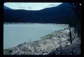
Image depicts Downton Lake, the Lajoie Dam reservoir.
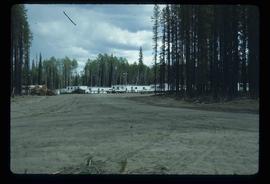
Image depicts a number of identical buildings and vehicles at "Driftwood Creek" in the Driftwood Canyon Provincial Park.
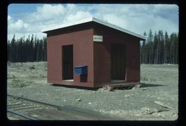
Image depicts the Driftwood BCR station, possibly located near Driftwood Creek in the Driftwood Canyon Provincial Park east of Smithers, B.C.
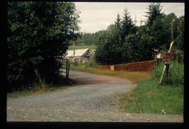
Image depicts a driveway cordoned off by a red mesh material in Newlands, B.C. The address of the house is labelled 31951, and the name listed is "Fauchers." Map coordinates 54°06'47.8"N 122°08'22.4"W
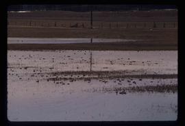
Image depicts a large flock of ducks in a field full of water at an unknown location.
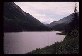
Image depicts a view of Duffey Lake Provincial Park, looking east over Duffey Lake.
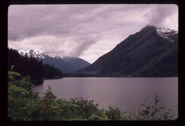
Image depicts a view of Duffey Lake Provincial Park, looking west over Duffey Lake.
Image depicts the Dunlevy Creek area somewhere near Dawson Creek, B.C. The slide is simply labelled "Dunlevy irrigation" for uncertain reasons.
Image depicts the Dunlevy Creek area somewhere near Dawson Creek, B.C. The slide is simply labelled "Dunlevy irrigation" for uncertain reasons.
Item is a photocopied plan depicting the Eagle Lake Sawmills Ltd. in Giscome, British Columbia with the plan of the sawmill and adjacent buildings, published by Transit Survey by L.C. Gunn and P.J. Klotz.
Item is a photocopied 1925 fire insurance plan depicting the Eagle Lake Spruce Mills Ltd. in Giscome, British Columbia published by the British Columbia Fire Underwriters Association.
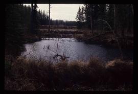
Image depicts a lake at an uncertain location, likely Eaglet Lake.
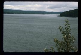
Image depicts Eaglet Lake, north-east of Prince George, B.C.
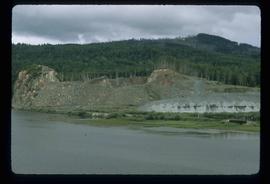
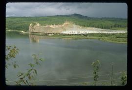
Image depicts the site of Giscome's first quarry, with Eaglet Lake located in the foreground.
Image depicts the site of Giscome's first quarry, with a train passing by and Eaglet Lake located in the foreground.
Image depicts an eastern view over Eaglet Lake.
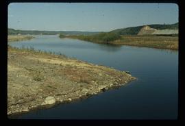
Image depicts the creek flowing into Eaglet Lake. A grey area of hill on the right side of the image appears to be the Giscome Quarry. Map coordinates 54°04'26.2"N 122°22'04.3"W
Image depicts Eaglet Lake in the winter taken from Giscome, B.C. Map coordinates 54°04'20.9"N 122°21'53.1"W
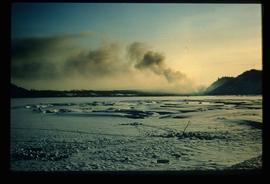
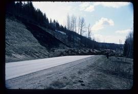
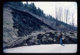
Image depicts an earth flow north of Stone Creek, B.C.
Image depicts an earth flow north of Stone Creek, B.C.
Item is an original map depicting east central British Columbia published by the Technical Supper Section Surveys and Resource Mapping Branch Ministry of Lands and Parks in Victoria, British Columbia.
Subseries consists of material collected by Kent Sedgwick for research regarding the communities along the East Line of the Grand Trunk Pacific Railway in Central British Columbia, particularly between Prince George and McBride. These communities and locations include, among others, Shelley, Willow River, Sinclair Mills, Longworth, Dunster, Tete Jaune, Valemount, Mount Robson, and the Yellowhead Pass. Research on these communities was conducted during Kent Sedgwick's involvement in the UNBC-led Upper Fraser Historical Geography Project. The files primarily consist of research notes, audio and transcripts of oral interviews, and photographs of the East Line communities.
File consists of notes and reproductions relating to the East Line Section of the Grand Trunk Pacific Railway in Central British Columbia.
File contains slides depicting places along the east line of the BC Railway. Some are duplicates of the images found in the "East Line, Dome Creek - Lamming Mills - Misc" file.
File contains slides depicting places along the east line of the BC Railway.
File contains slides depicting places along the east line of the BC Railway.
File consists of notes and printed photographs relating to the East Line. The file includes photographs that depict various areas on the Upper Fraser and within the communities, including Dome Creek; Sinclair Mills; Penny; Grand Canyon; and Crescent Spur (between 1999 and 2005).
File consists of lists and printed emails relating to slides and photographs depicting the East Line. Includes a CD that contains slides and photographs depicting the East Line (2000).
File contains slides depicting places along the east line of the BC Railway.
Image depicts employee houses on mill site in Giscome, B.C. Tug boats are in the foreground on the right. Map coordinates 54°04'23.4"N 122°22'16.9"W
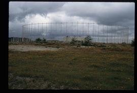
Image depicts a building surrounded by a tall, circular enclosure somewhere on Haida Gwaii, B.C.
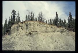
Image depicts what appears to be an eroding rock face. The slide itself is labelled "ash loger at top" for unknown reasons. Possibly located somewhere near Whitehorse, Y.T.
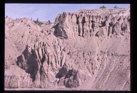
Image depicts an eroding rock face at an uncertain location.
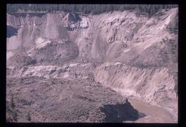
Image depicts an eroding rock face; the river in the right corner of the image is possibly the Fraser River.
Image depicts Eskers Park, near Prince George, B.C.
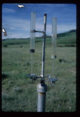
Image depicts an atmometer. According to the slide, it is being used for measuring the rate of water evaporation "from carborundum stone." The location is uncertain.
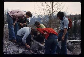
Image depicts a group of individuals who appear to be examining a rock. It is possibly part of an educational trip.
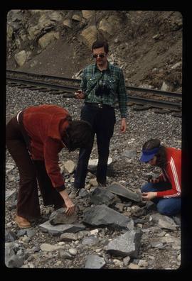
Image depicts three unidentified individuals examining rocks near a set of railway tracks at an uncertain location in the Peace River Region.
Image depicts a view of an experimental farm, possibly taken from Tabor Mountain.
Image depicts some fallen trees at Island Cache.
Image depicts a farm at an uncertain location.
Image depicts a farm on the west side of the Fraser, south of Quesnel, B.C.
Image depicts what appears to be a farm at an uncertain location.
