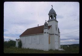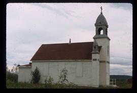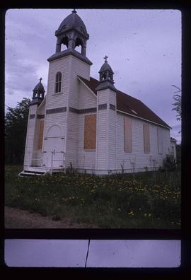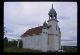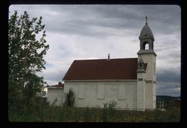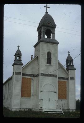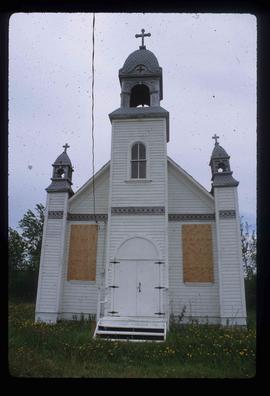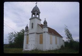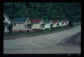
2012.13.1.83.02
·
Item
·
1979
Parte de J. Kent Sedgwick fonds
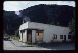
Image depicts a boarded up building in Stewart B.C. There is also a sign that reads: "No U Turns."