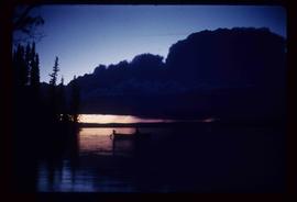
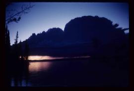
Aperçu avant impression Fermer

Affichage de 2097 résultats

Archival description
Cayoosh Valley
2012.13.1.54.10 · Pièce · July 1977
Fait partie de J. Kent Sedgwick fonds

Image depicts a view of Cayoosh Valley. Cayoosh Creek is visible in the bottom left corner of the image.

Cemetery
2012.13.1.78.21 · Pièce · 1982
Fait partie de J. Kent Sedgwick fonds

Image depicts an individual crouching in an old cemetery located somewhere in the coastal forest on Haida Gwaii, B.C.

Chasm
2012.13.1.50.126 · Pièce · 1981
Fait partie de J. Kent Sedgwick fonds

Image depicts a chasm full of trees at an unknown location.

Chasm
2012.13.1.50.128 · Pièce · 1981
Fait partie de J. Kent Sedgwick fonds

Image depicts a chasm full of trees at an unknown location.

Chasm Wall
2012.13.1.50.127 · Pièce · 1981
Fait partie de J. Kent Sedgwick fonds

Image depicts the wall of a chasm full of trees at an unknown location.

Chetwynd
2012.13.1.91.32 · Pièce · Nov. 1978
Fait partie de J. Kent Sedgwick fonds

Image depicts a view of Chetwynd, possibly from Highway 97.

Chetwynd - Motor Hotel and Esso
2012.13.1.91.40 · Pièce · 1979
Fait partie de J. Kent Sedgwick fonds

Image depicts several businesses in a small section of Chetwynd, B.C. There is a motor hotel and a half-visible sign for an Esso gas station.

Chilcotin Wildlife Management Area Sign
2012.13.1.65.07 · Pièce · May 1975
Fait partie de J. Kent Sedgwick fonds

Image depicts a sign titled "Chilcotin Wildlife Management Area" somewhere near Riske Creek, B.C. It reads: "This trail has been provided by the Fish and Wildlife Branch in co-operation with Riske Creek Ranching Ltd., as access to the Chilcotin Wildlife Management Area. Please do not leave the the trail as the surrounding land is private property."