2012.13.1.6.099
·
Item
·
Aug. 1979
Parte de J. Kent Sedgwick fonds
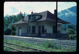
Image depicts the CN Rail station located in Kitwanga, B.C.


