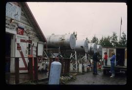
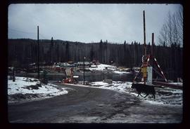
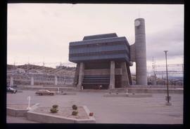
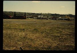
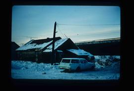
Image depicts a man and his family filling up their truck with gas at Manson Creek, B.C.
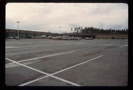
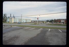
Image depicts numerous vehicles in the parking lot of a mall in Mackenzie, B.C.
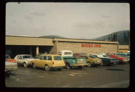
Image depicts numerous vehicles parked outside a building with a sign which reads "Mackenzie Centre;" it is possibly the mall in Mackenzie, B.C.
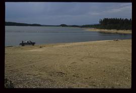
Image depicts a truck parked on a beach in Mackenzie, B.C.
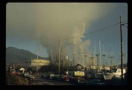
Image depicts several apartment buildings and the sign for a Gulf Gas Station in Mackenzie, B.C.
Image depicts several old shacks and some railway tracks running through Longworth, B.C.
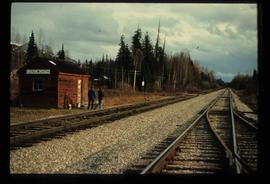
Image depicts two unidentified individuals standing next to the train station, and two railway tracks running through Longworth, B.C.
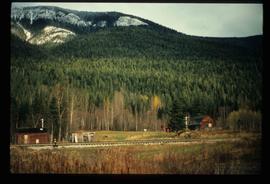
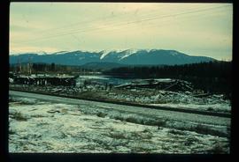
Image depicts a pile of old logs on the bank of the Fraser River with mountains in the background. In the foreground, a set of railway tracks run through an uncertain location, likely Upper Fraser, B.C.
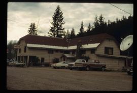
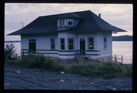
Image depicts a hotel in Likely, B.C.
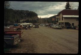
Image depicts numerous vehicles and individuals outside a hotel in Likely, B.C.
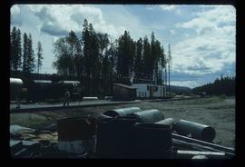
Image depicts a building, possibly an office building, next to a set of rail road tracks in Leo Creek, B.C. An unknown individual is present, and a number of barrels and culverts are visible in the foreground.
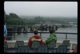
Image depicts several individuals seated on a ferry as it possibly departs from a dock somewhere in Prince Rupert, B.C. It is most likely headed for Haida Gwaii, B.C.
Image depicts numerous boats docked by the Prince Rupert Fishermen's Co-operative Association from the deck of a ferry, possibly as it's leaving Prince Rupert, most likely for Haida Gwaii.
Image depicts a large building with numerous vehicles in the foreground.
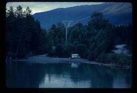
Image depicts a camper on the shore of what is possibly Melita Lake, near the Tseax Cone.
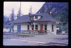
Image depicts the Kwinitsa CNR station, which is Prince Rupert's railway museum.
Image depicts the Kwinitsa CNR station in Kwinitsa, along the Skeena River.
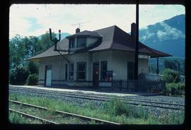
Image depicts the CN Rail station located in Kitwanga, B.C.
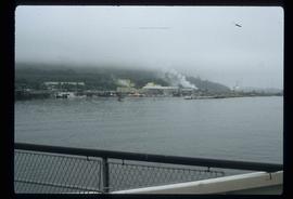
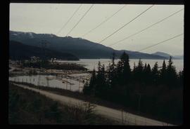
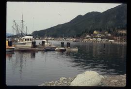
Image depicts a harbour in Kitimat, B.C.
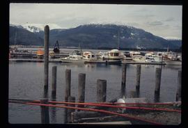
Image depicts numerous docked boats in Kitimat, B.C.
Image depicts numerous docked boats, as well as many houses on the shore in the background; located in Kitimat, B.C.
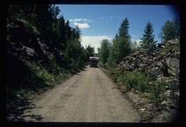
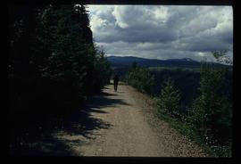
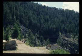
Image depicts a van on a narrow road, likely the Kettle Valley Trail.
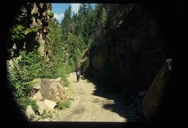
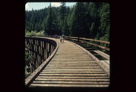
Image depicts a woman walking along a trail somewhere in Kettle Valley, B.C.
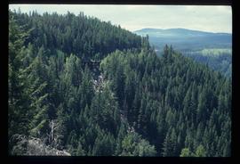
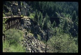
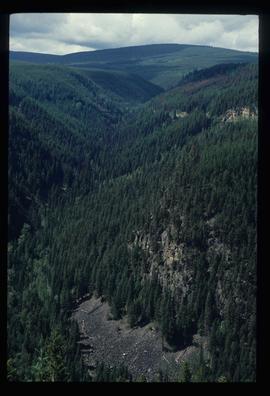
Image depicts a view of Kettle Valley, with a bridge of the old Kettle Valley Rail Road visible on a slope.
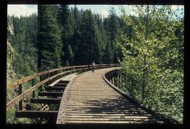
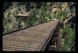
Image depicts a woman walking along the trail of the Kettle Valley Rail Road.
Image depicts the trail of the old Kettle Valley Rail Road.
Image depicts a man standing on the old Kettle Valley Rail Road.
Image depicts the old Kettle Valley Rail Road.
Image depicts several unknown individuals standing on the old Kettle Valley Rail Road.
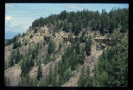
Image depicts the Okanagan Kettle Valley, with the Kettle Rail Road faintly visible among the trees
Image depicts the trail of the old Kettle Valley Rail Road.
Image depicts a woman standing on the old Kettle Valley Rail Road.
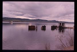
Image depicts a boat dock on the Nechako Reservoir at Kenny Dam.
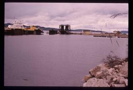
Image depicts a boat on the Nechako Reservoir at Kenny Dam.
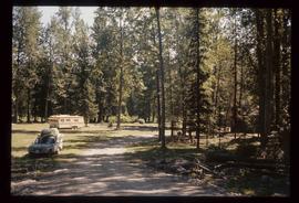
Image depicts a blue truck and a camper in the wooded area surrounding the townsite of Keithley Creek, B.C.
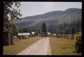
Image depicts the townsite of Keithley Creek, B.C.
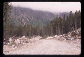
Image depicts a road, possibly Joffre Creek Road. The slide is simply labelled "Joffre cr."
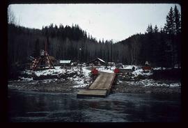
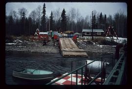
Image depicts the dock for ferries in Isle Pierre, B.C.
Image depicts the dock for ferries in Isle Pierre, B.C.
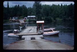
Image depicts the ferry at Isle Pierre, B.C.
Image depicts the ferry in Isle Pierre, B.C.
Image depicts the W.A.C. Bennett Dam in Hudson's Hope, B.C.
Image depicts the Giscome B.C. townsite from across the railroad tracks looking southeast. Map coordinates 54°04'19.7"N 122°22'04.7"W
Image depicts and old house and vehicle in Upper Fraser, B.C. Map coordinates 54°07'05.7"N 121°56'38.9"W
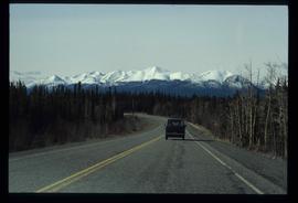
Image depicts a van on a highway with mountains in the distance; the location is uncertain, though it is possibly along the Alaska Highway.
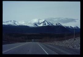
Image depicts a van on a highway with mountains in the distance; the location is uncertain, though it is possibly along the Alaska Highway.
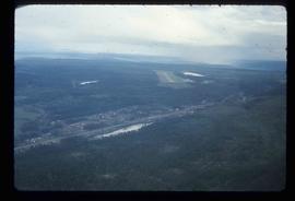
Image depicts an aerial view of the Williams Lake Airport along Highway 97, just north of Williams Lake, B.C.
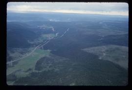
Image depicts an aerial view of Highway 97 just north of Williams Lake, B.C.
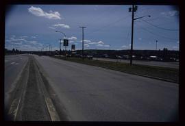
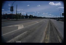
Image depicts a view along Highway 97 in Prince George, B.C.
Image depicts a section of Highway 97 looking south. Map coordinates 53°55'10.3"N 122°46'54.9"W
