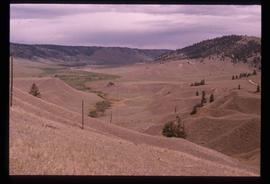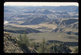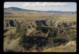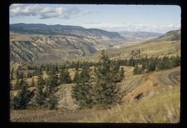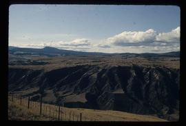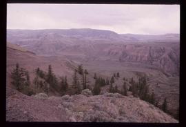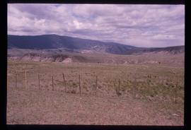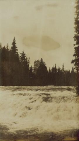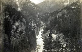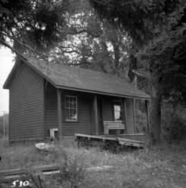
2001.26.1.510
·
Item
Part of Northwood Pulp and Timber Ltd. fonds
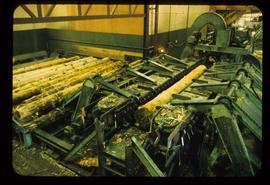
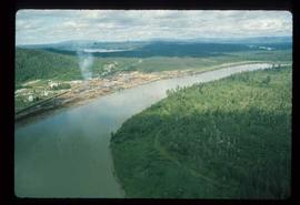
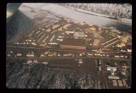
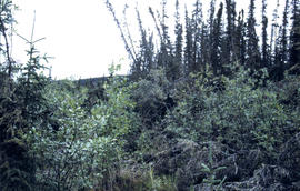
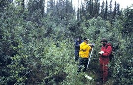
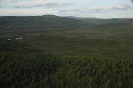
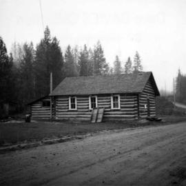
Upper Fraser Sawmill - General.