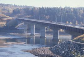
Image depicts the Yellowhead Bridge across the Fraser River. Map coordinates 53°54'45.2"N 122°43'27.9"W
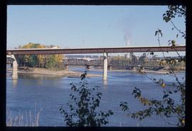
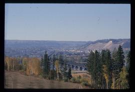
Image depicts the Fraser River and the Yellowhead and Grand Trunk Railway Bridges from LC Gunn Park. Map coordinates 53°54'30.7"N 122°43'27.0"W
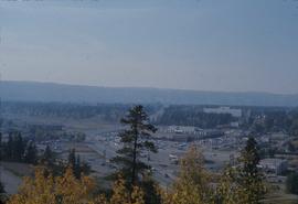
Image depicts Parkwood Place taken from Connaught Hill looking west with the hospital in the background. Map coordinates 53°54'39.9"N 122°45'02.5"W
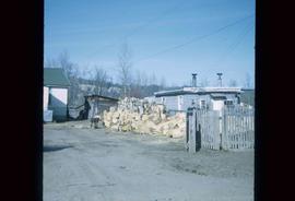
Image depicts a wood pile in Island Cache.
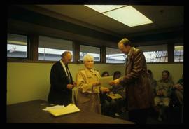
Image depicts a woman holding a sheet of paper in a room with numerous other unidentified individuals. The man standing behind her is possibly Elmer Mercier, a former Mayor of Prince George, B.C.
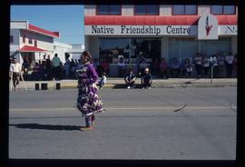
Image depicts a woman, wearing clothes reminiscent of traditional First Nations, who appears to be dancing in the street outside of a Native Friendship Centre in Prince George, B.C. A large crowd is looking on.
Image depicts the Grand Trunk Railway bridge across the Fraser River. Map coordinates 53°54'29.0"N 122°42'06.5"W
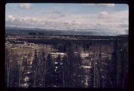
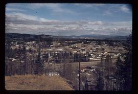
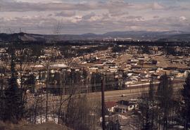
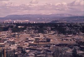
Image depicts a view of Prince George from Cranbrook Hill looking southeast. Map coordinates 53°54'51.5"N 122°49'05.2"W
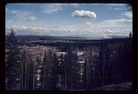
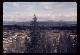
Image depicts a view of Prince George from Cranbrook Hill looking east. Map coordinates 53°54'51.5"N 122°49'05.2"W
Image depicts a view of Prince George from Cranbrook Hill looking southeast. Map coordinates 53°54'51.5"N 122°49'05.2"W
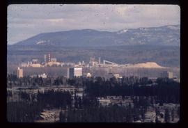
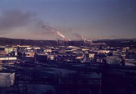
Image depicts a view of Prince George from Cranbrook Hill looking east with pulpmill and downtown in background.
Image depicts a view of Prince George from Cranbrook Hill looking east. Map coordinates 53°54'51.5"N 122°49'05.2"W
Image depicts a view of Prince George from Cranbrook Hill looking east.
Image depicts a view of Prince George from Cranbrook Hill looking southeast. Map coordinates 53°54'51.5"N 122°49'05.2"W
Image depicts a view of Prince George from City Hall looking north. Map coordinates 53°54'46.3"N 122°44'41.9"W
Image depicts downtown Prince George taken from across the Nechako River looking south. Map coordinates 53°56'00.0"N 122°44'29.7"W
Image depicts downtown Prince George taken from across the Nechako River looking south. Map coordinates 53°56'00.0"N 122°44'29.7"W
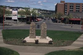
Image depicts a view of Prince George from City Hall looking northeast along George Street. Includes a back view of the Prince George cenotaph. Map coordinates 53°54'46.3"N 122°44'41.9"W
Image depicts a view of the Millar Addition suburb from Connaught Hill in Prince George, B.C.
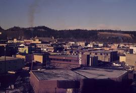
Image depicts a view of Prince George from City Hall looking northeast with the pulp mills in the background. Map coordinates 53°54'46.3"N 122°44'41.9"W
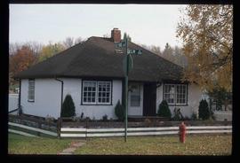
Image depicts a property given to the Veterans of the Second World War, located on the corner of 15th Avenue and Elm Street in Prince George, B.C.
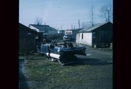
Image depicts a damaged, upturned car in Island Cache.
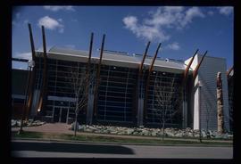
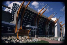
Image depicts the Two Rivers Art Gallery in Prince George, B.C.
Image depicts the Two Rivers Art Gallery in Prince George, B.C.
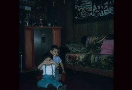
Image depicts two unknown children in a house somewhere in Island Cache.
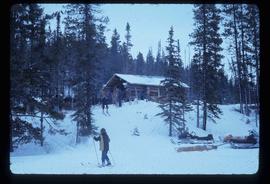
Image depicts numerous skiers at the cabin located at Troll Lake on Tabor Mountain in Prince George, B.C.
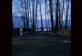
Image depicts a stand of trees and a shed at Island Cache.
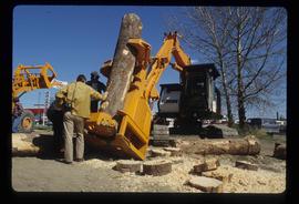
Image depicts two unidentified individuals examining a thick log still attached to the machine that cut it down. It is located somewhere in Prince George, B.C.
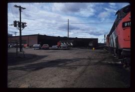
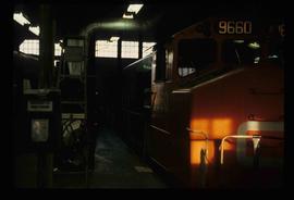
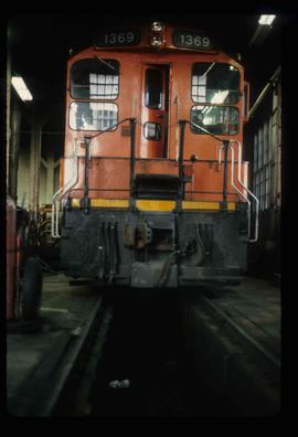
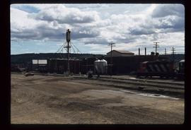
Image depicts trains at the Grand Trunk Pacific railway roundhouse in Prince George, B.C.
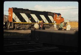
Image depicts a train and a group of unknown individuals at the GTP roundhouse in Prince George, B.C.
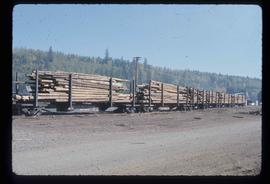
Image depicts a train carrying logs somewhere in Prince George, B.c.
Image depicts a train in the interior of the GTP roundhouse in Prince George, B.C.
Image depicts a train in the GTP roundhouse in Prince George, B.C.
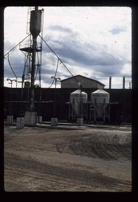
Image depicts what is possibly a train fuelling station at the GTP Roundhouse in Prince George, B.C.
Image depicts what is possibly a train fuelling station at the GTP Roundhouse in Prince George, B.C.
Image depicts what is possibly a train fueling station at the GTP Roundhouse in Prince George, B.C.
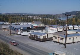
Image depicts mobile homes for sale on Cowart Road looking northeast with Simon Fraser Bridge in background. Map coordinates 53°52'39.3"N 122°46'13.1"W
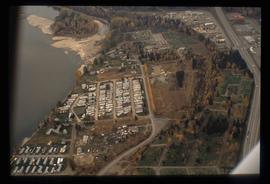
Image depicts a trailer park by either the Fraser or Nechako River in Prince George, B.C.
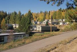
Image depicts trailer homes in Prince George, B.C.
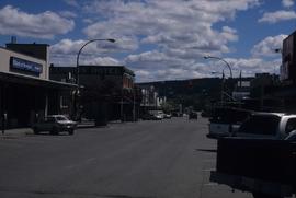
Image depicts 3rd Ave in Prince George, B.C. Map coordinates 53°55'01.9"N 122°44'48.7"W
Photograph depicts the old post office and federal government building at 1299 3rd Avenue prior to the coat of arms removal. Annotation on verso: "fed. govt bldg, (post office), c. 1990, before, coat of arms, removal".
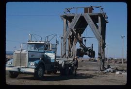
Image depicts a trailer for a logging truck suspended off the ground by a wooden structure. This is used to load the trailer onto the back of the truck. The name on the truck says "Rormarniewich Trucking Ltd."
File contains slides depicting the Summerfest in Prince George, B.C. in 1994.
Image depicts Studio 2880 Arts Complex in Prince George, B.C. Map coordinates 53°54'36.9"N 122°46'30.3"W
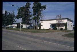
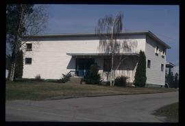
Image depicts a building which is a part of the Studio 2880 Arts Complex on 15th Avenue in Prince George, B.C.
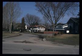
Image depicts a street of houses somewhere in Prince George, B.C.
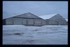
Image depicts a few storage sheds somewhere in Prince George, B.C.
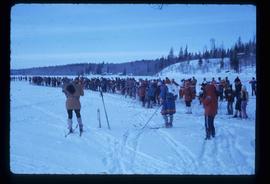
Image depicts a long line of people cross country skiing along the Birchleg route on Tabor Mountain in Prince George, B.C.
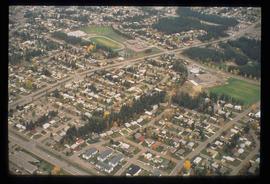
Image depicts a Lakewood view of Spruceland in Prince George, B.C.
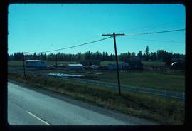
Image depicts a rural setting, most likely near the airport in Prince George, B.C.
