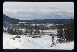
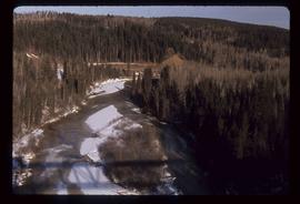
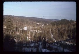
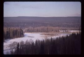
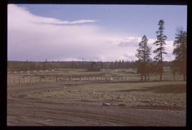
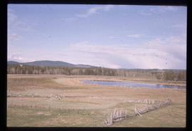
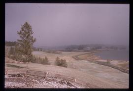
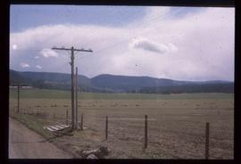
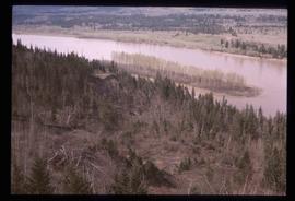
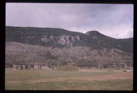
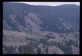
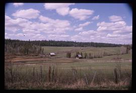
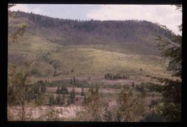
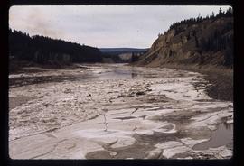
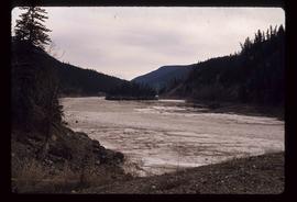
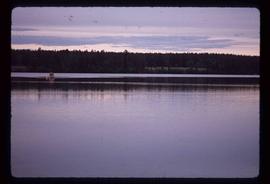
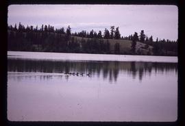
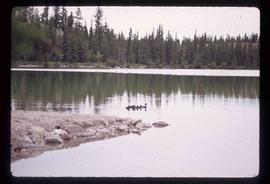
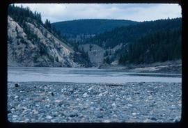
Geographic Features

Elements area

Taxonomy

Code

Scope note(s)

  • Includes both natural and artificial features
  • Physical landscape, built landscape
  • Urban and industrial landscapes
  • Topography
  • Site plans
  • Boundaries, districts, reserves, parks, sanctuaries, towns, etc.
  • NOTE: Mainly but not exclusively pertaining to photographic and cartographic records
  • SEE ALSO: Land, Settlement and Immigration

Source note(s)

  • MemoryBC Subject Groups

Display note(s)

    Hierarchical terms

    Geographic Features

      Equivalent terms

      Geographic Features

        Associated terms

        Geographic Features

          4134 Archival description results for Geographic Features

          4134 results directly related Exclude narrower terms
          Farm?
          2012.13.1.50.111 · Item · 1980
          Part of J. Kent Sedgwick fonds

          Image depicts what appears to be a farm at an uncertain location.

          Open Pit
          2012.13.1.50.093 · Item · [1978?]
          Part of J. Kent Sedgwick fonds

          Image depicts an open mining pit at an uncertain location; it is possibly Gibraltar.

          Mine Site Equipment
          2012.13.1.50.092 · Item · [1978?]
          Part of J. Kent Sedgwick fonds

          Image depicts what appears to be a junkyard for old mining equipment at an uncertain location, though possibly near Gibraltar.

          Soda Creek
          2012.13.1.50.083 · Item · [1978?]
          Part of J. Kent Sedgwick fonds

          Image depicts a bridge at Soda Creek, B.C. There are numerous unknown individuals present.

          Scenery
          2012.13.1.50.081 · Item · [1978?]
          Part of J. Kent Sedgwick fonds

          Image depicts a relatively flat section of land with hills in the distance; the location is uncertain.

          River
          2012.13.1.50.080 · Item · [1978?]
          Part of J. Kent Sedgwick fonds

          Image depicts a river and a hillside at an unknown location.

          Small Mountain
          2012.13.1.50.079 · Item · [1978?]
          Part of J. Kent Sedgwick fonds

          Image depicts a small mountain at an unknown location. The slide is labelled "basalt" for an unknown reason.

          Slump?
          2012.13.1.50.078 · Item · [1978?]
          Part of J. Kent Sedgwick fonds

          Image depicts what is likely a slump slide at an unknown location.

          Lava Formation?
          2012.13.1.50.077 · Item · [1978?]
          Part of J. Kent Sedgwick fonds

          Image depicts a formation of rock; presumably solidified lava, as the slide is simply labelled "lava." The location of the image is uncertain.

          Scenery
          2012.13.1.50.076 · Item · [1978?]
          Part of J. Kent Sedgwick fonds

          Image depicts a scenic view of a section of land at an unknown location.

          Robin Hood Flour
          2012.13.1.50.068 · Item · [1978?]
          Part of J. Kent Sedgwick fonds

          Image depicts an old log cabin with the sign "Robin Hood Flour" on it at an uncertain location. It is possibly at the 153 Mile House.

          Farm
          2012.13.1.50.067 · Item · 1978
          Part of J. Kent Sedgwick fonds

          Image depicts a farm on the west side of the Fraser, south of Quesnel, B.C.

          Old Slump
          2012.13.1.50.064 · Item · 1978
          Part of J. Kent Sedgwick fonds

          Image depicts an old slump type of landslide. The slide labels it as being near "McAlister."

          Rudi's Bridge
          2012.13.1.50.059 · Item · 1978
          Part of J. Kent Sedgwick fonds

          Image depicts a small foot bridge at an unknown location. The slide is simply labelled "Rudi's Bridge."

          Ducks
          2012.13.1.50.055 · Item · 1978
          Part of J. Kent Sedgwick fonds

          Image depicts a large flock of ducks in a field full of water at an unknown location.

          Slump?
          2012.13.1.50.051 · Item · 1978
          Part of J. Kent Sedgwick fonds

          Image depicts an unknown individual standing next to what appears to be a slump type of landslide at an unknown location.