2020.08.16
·
Item
·
[between 1912 and 1918]
Part of Pacific Great Eastern Railway Region Photograph Collection
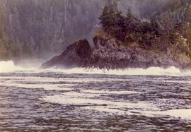
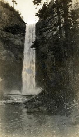
Photograph depicts the waterfall Brandywine Falls.