Geographic Features

Elements area

Taxonomy

Code

Scope note(s)

  • Includes both natural and artificial features
  • Physical landscape, built landscape
  • Urban and industrial landscapes
  • Topography
  • Site plans
  • Boundaries, districts, reserves, parks, sanctuaries, towns, etc.
  • NOTE: Mainly but not exclusively pertaining to photographic and cartographic records
  • SEE ALSO: Land, Settlement and Immigration

Source note(s)

  • MemoryBC Subject Groups

Display note(s)

    Hierarchical terms

    Geographic Features

      Equivalent terms

      Geographic Features

        Associated terms

        Geographic Features

          100 Archival description results for Geographic Features

          100 results directly related Exclude narrower terms
          Gang Ranch Sign
          2012.13.1.52.04 · Item · 1980
          Part of J. Kent Sedgwick fonds

          Image depicts the sign to Gang Ranch, located in the Upper Fraser Canyon, with graffiti on it.

          Grand Canyon, Fraser River
          2009.5.3.103 · Item · [ca. 1910]
          Part of Taylor-Baxter Family Photograph Collection

          Photograph depicts an unidentified person seated on rocks in foreground. River crosses midground, cliffs and trees on opposite shore in background. Unidentified structures believed to be buildings can be seen on opposite shore. Handwritten annotation on verso of photograph: "Grand Canyon. fraser R."

          Road and Scenery
          2012.13.1.52.45 · Item · [1980?]
          Part of J. Kent Sedgwick fonds

          Image depicts a road somewhere in the Upper Fraser Canyon, and a view of the hills and trees.

          2009.5.3.108 · Item · 1911
          Part of Taylor-Baxter Family Photograph Collection

          Photograph depicts men on river scow, large rock island or peninsula protruding into river behind them. Trees on opposite shore in background, large rock in foreground. Handwritten annotation on verso of photograph: "Grand Canyon. Fraser River. Big Rock.", on recto of copy print: "1911."

          The Bourchier Album
          2009.5.3 · File · [ca. 1895 - 1950]
          Part of Taylor-Baxter Family Photograph Collection

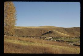
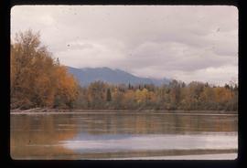
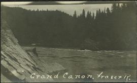
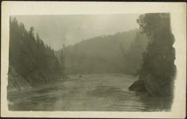
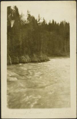
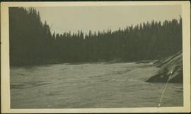
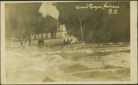
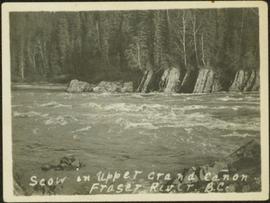
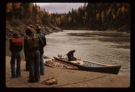
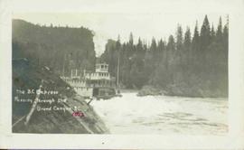
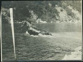
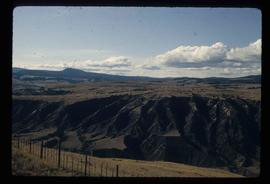
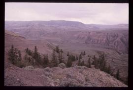
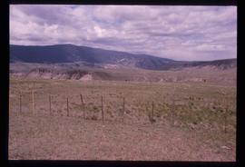
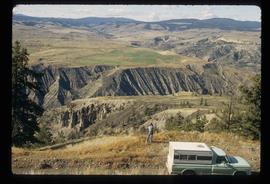
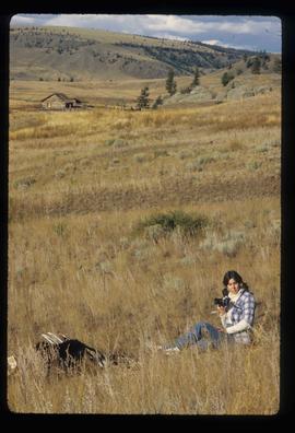
          This photograph album consists of photographs of remote police barracks at Mile 47 and Mile 29; early settlements and/or mercantile stores at Tete Jaune Cache, McBride, Sand Creek, Fort George and South Fort George; Grand Trunk Pacific Railway forestry and railway camps; scows and paddlewheel conveyors on the Fraser River; automobiles; community leisure activities; as well as, images of the Bourchier family. The following South Fort George establishments are identifiable within these photographs: Empress Hotel, Ah Yee General Merchant, German Bakery, Northern Hotel, South Fort George Drug Store & Post Office, St. Michael’s Church, Prince George Hotel, Ford Monarch dealership, Astoria Hotel, and King George V Elementary School. Identified geographic locations featured in these photographs include: Tete Jaune, Upper Fraser, Mile 47, Mile 29, Fraser River, Mt. Robson, McBride, Sand Creek, Glacier Mountain, Moose River, Giscome Portage, Pott Falls, Red Deer River, Grand Canyon, Summit Lake, Canoe Pass, Connaught Hill, Nechako Bridge, and Island Cache.

          Bourchier, Alan K.
          Woman with Camera
          2012.13.1.52.27 · Item · 1980
          Part of J. Kent Sedgwick fonds

          Image depicts an unknown woman with a camera. Nearby are the skeletal remains of an unknown animal. The location is the upper Fraser Canyon.