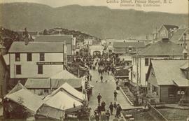
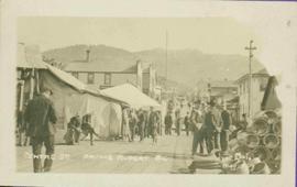
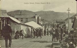
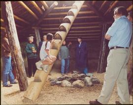
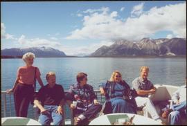
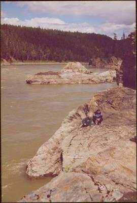
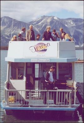
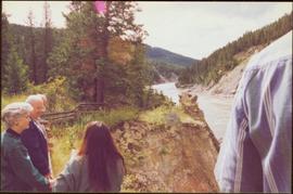
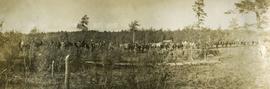
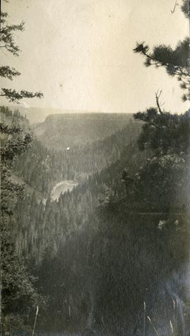
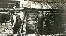
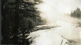
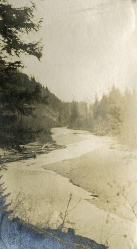
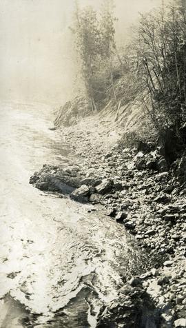
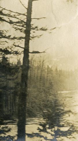
Geographic Features

Elements area

Taxonomy

Code

Scope note(s)

  • Includes both natural and artificial features
  • Physical landscape, built landscape
  • Urban and industrial landscapes
  • Topography
  • Site plans
  • Boundaries, districts, reserves, parks, sanctuaries, towns, etc.
  • NOTE: Mainly but not exclusively pertaining to photographic and cartographic records
  • SEE ALSO: Land, Settlement and Immigration

Source note(s)

  • MemoryBC Subject Groups

Display note(s)

    Hierarchical terms

    Geographic Features

      Equivalent terms

      Geographic Features

        Associated terms

        Geographic Features

          4134 Archival description results for Geographic Features

          4134 results directly related Exclude narrower terms
          Central Interior Natives
          2012.13.1.009 · Subseries · [between 1976 and 2003]
          Part of J. Kent Sedgwick fonds

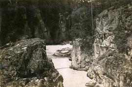
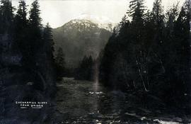
          File contains slides that reproduce historical photographs of Indigenous peoples of Central Interior, as well as maps.

          2009.6.1.556 · Item · [1992?]
          Part of The Honourable Iona Campagnolo fonds

          Unidentified women stands in centre background with arm raised, and a young girl sits on post in foreground. Photograph was taken during the chancellor's tour of Xats'ull Heritage Village, Soda Creek First Nation, Williams Lake, B.C.

          Handwritten annotation on verso reads: "UNBC 1992".

          2009.6.1.554 · Item · [1992?]
          Part of The Honourable Iona Campagnolo fonds

          Handwritten notation affixed to verso reads: "Iona w/ Lee Morrison (late) director of First Nations Centre at that time. Soda Creek / net fishing for elders".

          Photograph was taken during the chancellor's tour of Xats'ull Heritage Village, Soda Creek First Nation, Williams Lake, B.C.

          2009.6.1.580 · Item · July 1996
          Part of The Honourable Iona Campagnolo fonds

          Left to right: Deborah Poff, Dennis Macknak, Charles Jago, an unidentified woman, Iona Campagnolo, an unidentified man, Ellen Facey, and an unidentified woman. Unknown man stands on lower deck in foreground. Mountains visible in background. Photograph taken during the Chancellor's 1996 regional tour through Atlin and Whitehorse; see also items 2009.6.1.578 - 2009.6.1.581.

          Handwritten annotation on verso reads: "#3 Chancellor's Tour".

          2009.6.1.581 · Item · July 1996
          Part of The Honourable Iona Campagnolo fonds

          Left to right: Deborah Poff, Dennis Macknak, Charles Jago, an unidentified woman, Iona Campagnolo, Ellen Facey, Nick Petraryszak, an unidentified man, and an unidentified woman. Unknown man stands on lower deck in foreground. Mountains visible in background. Photograph taken during the Chancellor's 1996 regional tour through Atlin and Whitehorse; see also items 2009.6.1.578 - 2009.6.1.580.

          Chasm
          2020.05.48 · Item · 1936
          Part of Gordon Wyness Album

          Photograph depicts "The Chasm" or "The Painted Chasm", located 11 miles north of Clinton, adjacent to the route of the Cariboo Road. In 1940, four years after this photograph was taken, Chasm Provincial Park was created in 1940 to preserve and promote the Painted Chasm feature, a gorge created from melting glacial waters eroding a lava plateau over a 10 million year span.

          Chasm
          2012.13.1.50.126 · Item · 1981
          Part of J. Kent Sedgwick fonds

          Image depicts a chasm full of trees at an unknown location.

          Chasm
          2012.13.1.50.128 · Item · 1981
          Part of J. Kent Sedgwick fonds

          Image depicts a chasm full of trees at an unknown location.

          Chasm Wall
          2012.13.1.50.127 · Item · 1981
          Part of J. Kent Sedgwick fonds

          Image depicts the wall of a chasm full of trees at an unknown location.

          Chasm, BC
          2020.05.47 · Item · 1936
          Part of Gordon Wyness Album

          Photograph depicts "The Chasm" or "The Painted Chasm", located 11 miles north of Clinton, adjacent to the route of the Cariboo Road. In 1940, four years after this photograph was taken, Chasm Provincial Park was created in 1940 to preserve and promote the Painted Chasm feature, a gorge created from melting glacial waters eroding a lava plateau over a 10 million year span.

          Cheakamus River
          2014.10.1.145 · Item · 1911
          Part of Arthur Holland Land Surveying Collection

          Photograph depicts three men standing in front of a log cabin. Two men hold fishing rods and each of these men hold a freshly caught fish. The third man stand to the side with a loaded back pack. Two men smoke pipes.

          Chetwynd
          2012.13.1.91.32 · Item · Nov. 1978
          Part of J. Kent Sedgwick fonds

          Image depicts a view of Chetwynd, possibly from Highway 97.