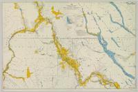
Geological topographic map. Geological Survey produced for the Department of Mines, Canada.
Bulkley Valley, BC
11 Archival description results for Bulkley Valley, BC
Colour-coded map depicts lands surveyed as alienated, available for purchase or lease under Taxation Act, or reserved. Depicts land district boundaries, land recording divisions, triangulation stations, telegraph/telephone lines, communities, bodies of water, and transport routes.
Fonds consists of original, silent 16mm reels that portray the natural, social and land use history of the Bella Coola and Chilcotin regions named the "Natural and Guiding History of the Bella Coola and Chilcotin Regions".
Possible locations that Al Elsey filmed include: Bella Coola, Bella Bella, Anahim Lake, Alert Bay, Nimpo Lake, Bulkey Valley, the Rainbow Mountains, Tweedsmuir Provincial Park, Dean River, Bella Coola River, Tchaha Lake, the Chilcotin region, the Ulkatcho Mountains, Lassard Lake, Fenton Lake, Atnarko River, Wells Gray Park, and Holt Homestead.
File contains slides depicting landforms at various locations.
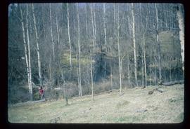
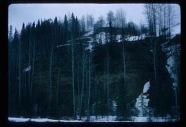
Image depicts a section of forest in the Bulkley Valley.
Image depicts a crevasse filling ridge somewhere in the Bulkley Valley, B.C.
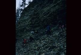
Image depicts numerous unknown individuals searching through a fossil bed, possibly in the Bulkley Valley.
Image depicts a fossil bed, possibly somewhere in the Bulkley Valley.
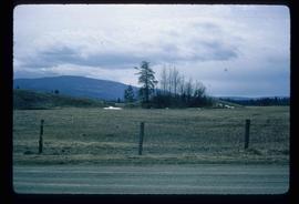
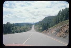
Image depicts a stretch of road through the Bulkley Valley.
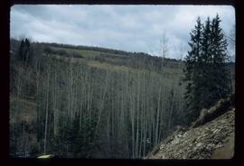
Image depicts a valley of fossil beds, possibly the Bulkley Valley.
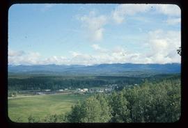
Image depicts a view of Bulkley Valley.
